What is recorded here
Situated on flat reclaimed grassland to the east of a stream which serves as the townland boundary between Clontinteen and Croughal. Found as part of an assessment of a nearby tree felling licence application. Extensive series of cultivation ridges throughout the field with linear ditches which may represent the remains of drainage ditches visible on aerial imagery. Levelled field boundaries in a large pasture field, not recorded on any of the OS maps. Likely related to a possible moated site with annexe (WM025-175----) in this pasture field.
Compiled by: Caimin O'Brien based on details provided by Johnny Ryan, archaeologist, Forestry Service, DAFM
Date of Compilation: 10 November 2025
The monument record does not grant public access. Check the route and ask the landowner before entering private land.
- What survives
- Recorded monument
Places near here
 IndicatedFairy fort / earthen ringfort · 373 yd
 Site of CastleCastle, unclassified · 851 yd
 Balrath Lodgehouse · 1039 yd
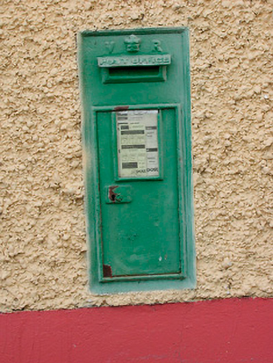 post boxpost box · 1361 yd
 Font (present location) in TogherstownFont (present location) · 1479 yd
 CastleCastle, unclassified · 1698 yd
 Ancient Ring FortWood · 1.0 mi
 Hill of UisneachMountain / peak · 2.1 mi
 European ashEuropean ash · 3.0 mi
 KnockastiaMountain / peak · 6.2 mi
 Carrickphilbin IslandIslet · 6.6 mi
 Abbeyshrule AbbeyRuins · 8.4 mi