What is recorded here
Courtwood holds two rectangular fields cut by broad fosses, attached to a ringfort now hidden beneath ploughed soil. The shape suggests people farmed beside a defended home, then left the land to forget them.
Aerial photograph (GB89.AI.32) shows cropmarks of a field system comprising two rectangular fields delineated by broad fosses attached to an enclosure (probably a plough-levelled ringfort (LA009-053) and forming part of a wider cropmark landscape comprising curvilinear and rectilinear components, one with a clear entrance, and a trackway.
The monument record does not grant public access. Check the route and ask the landowner before entering private land.
- What survives
- Recorded monument
Places near here
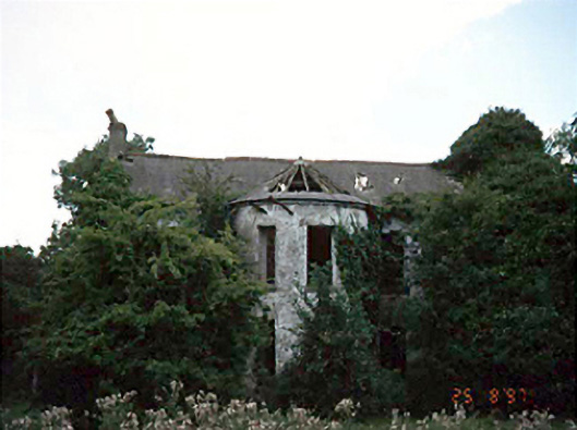 Fisherstown Househouse · 1357 yd
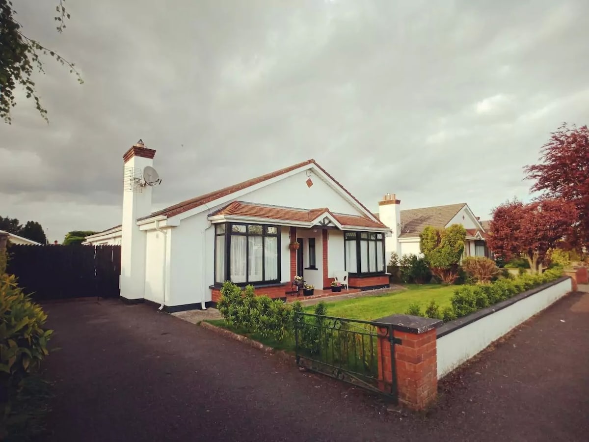 Enclosure in FisherstownEnclosure · 1480 yd
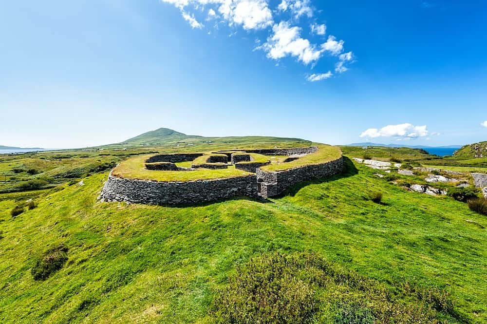 Enclosure in KilbrackanEnclosure · 1592 yd
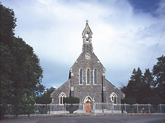 Catholic Church of the Sacred Heartchurch/chapel · 1594 yd
 OutlinedCastle, unclassified · 1.3 mi
 Green's WoodForest · 1.9 mi
 Dangan's WoodWood · 2.0 mi
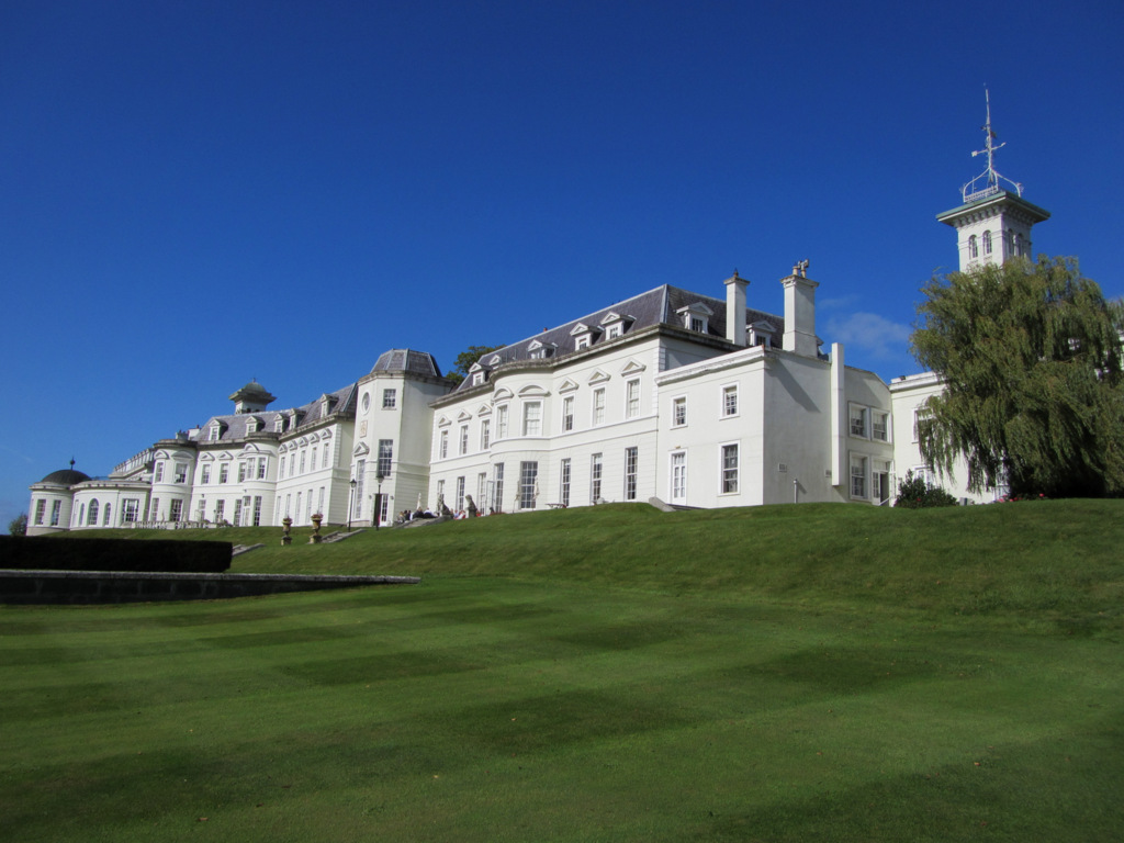 Cloney CastleCastle, unclassified · 2.3 mi
 Emo CourtHeritage attraction · 5.0 mi
 Church (in Ruins), GraveyardChurch · 5.1 mi
 Bog Lake WalkWalking route · 7.5 mi
 Bog Oak WalkWalking route · 7.8 mi