What is recorded here
In tillage. Portion of a field system which pre-dates the 19th-century field system on the 1st ed. OS 6-inch map. The field boundaries are visible as cropmarks on Google Earth (imagery date 28 June 2018), identified and reported by Simon Dowling. It consists of a field boundary running NNW-SSE (L c. 280m) with field boundaries running eastward from this boundary.
See attached Google Earth image taken 28 June 2018
Compiled by: Jean Farrelly
Date of upload: 9 April 2019
The monument record does not grant public access. Check the route and ask the landowner before entering private land.
- What survives
- Recorded monument
Places near here
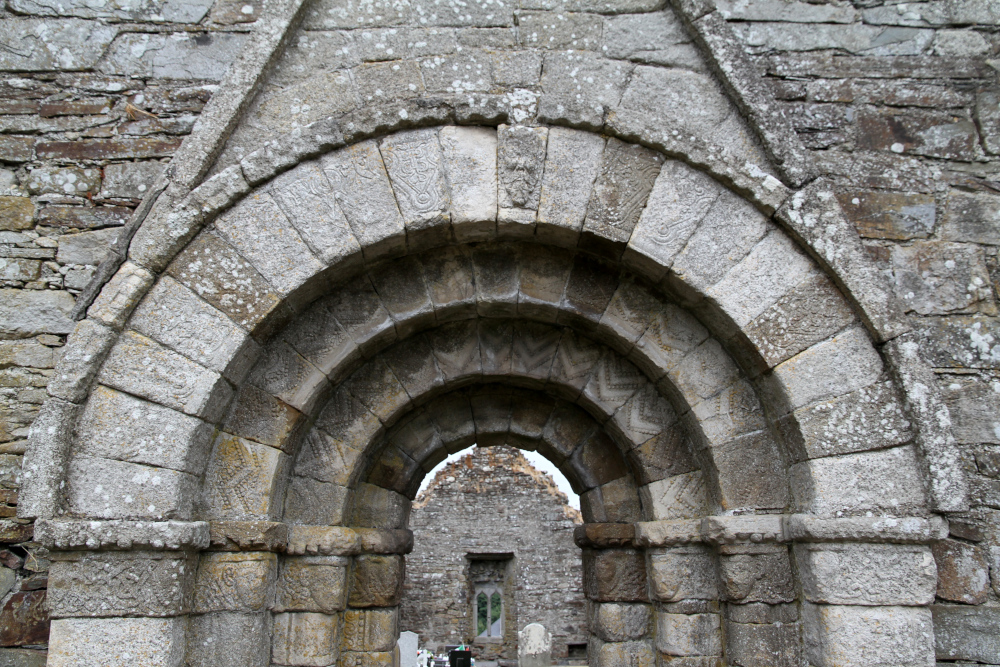 Killermogh Church (in Ruins)Church · 605 yd
 CastleCastle, unclassified · 1274 yd
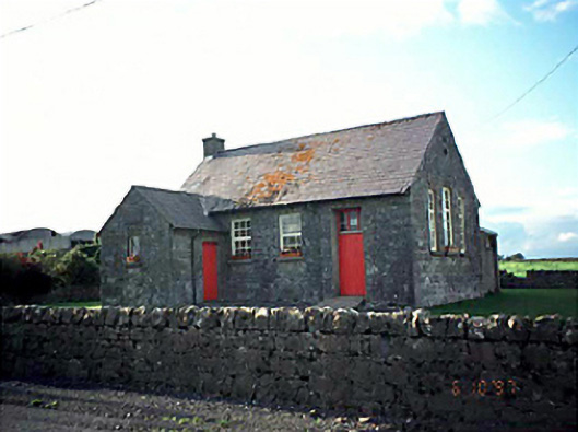 Ballacolla National Schoolschool · 1550 yd
 Enclosure in Ballycolla HeathEnclosure · 1.0 mi
 Enclosure in BallycollaEnclosure · 1.7 mi
 European PearEuropean Pear · 1.8 mi
 Ballygeehin Castle (in Ruins)Bawn · 1.9 mi
 Birchfield PlantationForest · 1.9 mi
 Knocknamoe HouseMemorial · 4.3 mi
 Abbeyleix Heritage CentreMuseum · 4.5 mi
 1798 MonumentMemorial · 5.0 mi
 Anker's IslandIsland · 5.3 mi