
What is recorded here
From the National Monuments Service (Archaeological Survey of Ireland) record LA029-079
Places near here
Photo credits
- Maker not stated on source page, www.pinterest.com
- Maker not stated on source page, commons.wikimedia.org
- Maker not stated on source page, www.flickr.com
- Maker not stated on source page, en.wikipedia.org
- Kmcnamee, Wikimedia Commons · CC BY-SA 4.0
- Maker not stated on source page, www.dreamstime.com
- Keith Weller, Wikimedia Commons · Public domain
- Mike Searle, Geograph · CC BY-SA 2.0
- Maker not stated on source page, www.airbnb.co.nz
- Laois Today; individual photographer not identified in accessible image or article excerpt, www.laoistoday.ie
 Holy well in CoolderryHoly well · 860 yd
Explorer Tom Holy well in Coolderry was nearly sold to a farmer as a spare pond for his horse. The water is probably still thinking…
 Church in CooltederyChurch · 864 yd
Explorer Tom Church in Cooltedery, County Laois is unlocated, but it’s secretly proud of the potato that grew in its foundation…
 Fairy fort / earthen ringfort in KillermoghFairy fort / earthen ringfort · 898 yd
Explorer Tom Fairy fort / earthen ringfort in Killermogh wants to be a bit more mysterious this New Year, so it’s hiding its…
 Church in UnknownChurch · 1274 yd
Explorer Tom Church in County Laois would tell its replacement that it was lucky to get such good lighting all those years ago. The…
 The Hawthorn, Clough BallacollaGAA ground · 1.1 mi
 Ballacolla GraveyardGraveyard · 1.1 mi
Explorer Tom Ballacolla Graveyard’s family tree is mostly made up by people who just wanted a good story to tell over pints in the…
 Killermogh GraveyardGraveyard · 1.3 mi
Explorer Tom If Killermogh Graveyard could talk, it would describe itself as 'a bit rough around the edges but full of character.'…
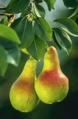 European Pear1.8 mi
Explorer Tom European Pear in County Laois is playing hard to get, much like that cow who tried to buy it with a bad note. It’s…
 Ballygeehin Castle ruinsCastle · 1.9 mi
Explorer Tom Ballygeehin Castle ruins burnt itself down in 1600 to avoid English troops, which is the most dramatic escape plan I’ve…
Ballygeehin Castle (in Ruins)Castle, tower house · 1.9 miExplorer Tom Ballygeehin Castle would write on its dating profile: 'I burned myself down in 1600 to avoid an English garrison, so…
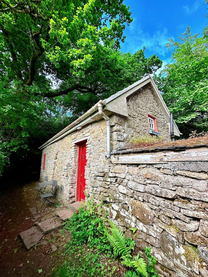 Teahouse WoodForest · 2.0 mi
Explorer Tom Teahouse Wood in County Laois has a fiddler who played there all night and never stopped playing. The sound is still…
 The Harps GAA pitchGAA ground · 2.2 mi
More archaeology and monuments in County Laois · All of County Laois

What do you know about this place?Tap to add a comment or ask a question