What is recorded here
On a rise in grassland, c. 400m ENE of a similar complex (GA028-021----). Aerial reconnaissance in December 1984 (ASGAP 227:13) brought to light a series of low irregular grassed-over banks of earth and stone covering an area c. 450m E-W by c. 220m N-S. The E half has largely been cleared and piles of field-clearance rubble are visible. Two circular enclosures (GA028-020001-, GA028-020002-) are associated.
The above description is derived from the published 'Archaeological Inventory of County Galway Vol. II - North Galway'. Compiled by Olive Alcock, Kathy de hÓra and Paul Gosling (Dublin: Stationery Office, 1999).
Date of upload: 05 August 2010
The monument record does not grant public access. Check the route and ask the landowner before entering private land.
- What survives
- Recorded monument
Places near here
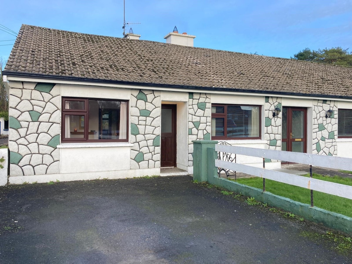 Enclosure in Cloonteen (dunmore By.)Enclosure · 24 yd
 CahermoreArchaeological place · 1116 yd
 Rockwell Househouse · 1.0 mi
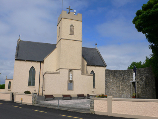 Saint Conleth's Catholic Churchchurch/chapel · 1.1 mi
 Bawn in BlindwellBawn · 1.5 mi
 CastleCastle, tower house · 2.0 mi
 European YewEuropean Yew · 3.0 mi
 Mass RockNamed rock · 3.2 mi
 Pesooge PlantationForest · 3.8 mi
 Kilcoona Round TowerHeritage attraction · 8.3 mi
 Walsh's IslandIslet · 11 mi
 Otter IslandIslet · 11 mi