What is recorded here
Visible as what looked like recently removed field banks NE of rath (RO016-062001-) that covered c. 1 ha (c. 2.5 acres) on aerial photographs (GSIAP: M, 662-3), and which are partly marked on the 1837 and 1914 eds of the OS 6-inch map. If this is what it was the banks are likely to be modern as they conform to the surviving field banks. No features are visible at ground level.
Compiled by: Michael Moore
Date of upload: 24 August 2010
The monument record does not grant public access. Check the route and ask the landowner before entering private land.
- What survives
- Recorded monument
Places near here
 IndicatedFairy fort / earthen ringfort · 893 yd
 Site of Dangan CastleCastle, unclassified · 1566 yd
 Embanked enclosureEnclosure, large enclosure · 1680 yd
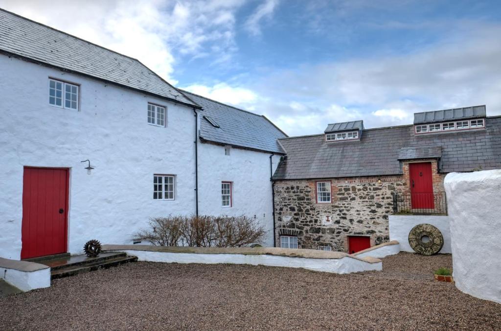 Old Corn KilnKiln, corn-drying · 1.1 mi
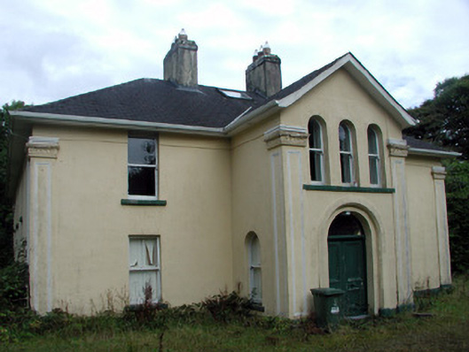 Tully Lodgehouse · 1.2 mi
 Mullinashee WoodForest · 2.0 mi
 Hat IslandIslet · 2.2 mi
 Maguire's WoodForest · 2.2 mi
 Garrymond IslandIslet · 2.3 mi
 Patrick Gill Memorial Plaque (IRA)Monument · 3.3 mi
 Robert Strawbridge MemorialMemorial · 3.4 mi
 Moon RiverHeritage attraction · 4.6 mi