What is recorded here
In this general area which consists of rough heather-covered ground there are many disused field boundaries. But at variance to the general plan of these are several 'alignments' of single stones which seem to 'enclose' larger areas. There are also two cairns in the area. The date of these features is not clear.
The above description was derived from the 'Archaeological Survey of County Donegal. A description of the field antiquities of the County from the Mesolithic Period to the 17th century.' Compiled by: Brian Lacey with Eamon Cody, Claire Cotter, Judy Cuppage, Noel Dunne, Vincent Hurley, Celie O'Rahilly, Paul Walsh and Seán Ó Nualláin (Lifford: Donegal County Council, 1983). In certain instances the entries have been revised and updated.
Date of upload: 22 September 2008
The monument record does not grant public access. Check the route and ask the landowner before entering private land.
- What survives
- Recorded monument
Places near here
 Clehagh Stone RingfortFairy fort / stone ringfort · 79 yd
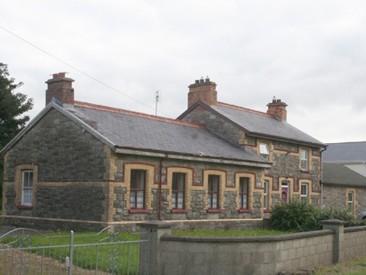 railway stationrailway station · 529 yd
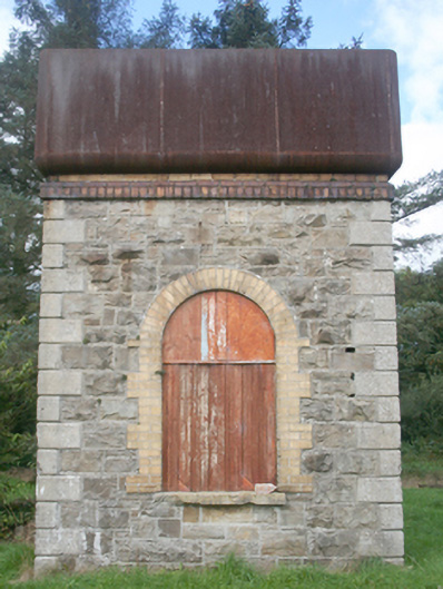 water towerwater tower · 536 yd
 Roosky Stone Ringfort near ClonmanyFairy fort / stone ringfort · 974 yd
 Clonmany Early Church GraveyardGraveyard · 1.3 mi
 Glenevin Waterfall WalkOfficial walking route · 1.6 mi
 Glenevin WaterfallWaterfall · 1.9 mi
 Glenevin Waterfall, Clonmanywaterfall · 1.9 mi
 Glendowen craft shopHeritage attraction · 1.9 mi
 Raghtin MoreMountain / peak · 2.9 mi
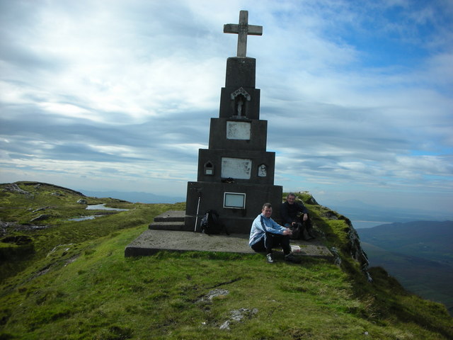 BulbinMountain / peak · 3.1 mi
 Bawn in CarrickabraghyBawn · 3.8 mi