What is recorded here
A field system is evident on OS aerial photographs (c. 2005) and on Bing maps (Accessed: 4 December 2012) on the S-facing slopes below the stone rampart of the hillfort on Brusselstown Hill (WI027-018----), within the larger Spinans Hill hillfort complex (WI027-078001- / WI021-080001-). Part of this field system comprises a field boundary (double-walled in places) extending NNE-SSW 18.4m W of a hut site (WI027-019003-) and is composed of large boulders (Wth c. 0.7-1m). Another field boundary (Wth 0.6m) extends NNE from the N side of another hut site (WI027-019004-).
Compiled by: Mary Tunney
Date of upload: 4 December 2012
The monument record does not grant public access. Check the route and ask the landowner before entering private land.
- What survives
- Recorded monument
Places near here
 Enclosure in CastlequarterEnclosure · 139 yd
 Brusselstown RingHillfort · 322 yd
 Castle in ruinsCastle, unclassified · 593 yd
 Saint Brigit's ChairNamed rock · 1337 yd
 Saint Brigit's Mass StoneNamed rock · 1621 yd
 Sam McAllistair GraveMemorial · 1.3 mi
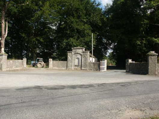 Kilranelagh Housegate lodge · 1.5 mi
 Keadeen MountainMountain / peak · 1.5 mi
 Site of CastleCastle, unclassified · 1.7 mi
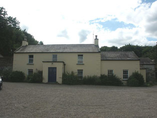 Mount Slaneyfarm house · 1.8 mi
 Dwyer McAllister CottageMuseum · 2.1 mi
 SlievereaghMountain / peak · 2.9 mi