What is recorded here
Not listed in either the SMR (1989) or the RMP (1995). Not shown on any edition of the OS 6-inch map. In gently undulating wet pasture, on a gentle SE-facing slope. The field system is very low in profile and consists primarily of relict field drains (Wth Top 4m-5m; Wth base 1.5m-2m; D 0.15-0.3m). The field system is visible on an aerial photograph (GSIAP, G 267-8). This is likely to be post-1700 AD in date.
Compiled by: Archaeological Survey Unit, UCC
Date of upload: 04 January 2012
The monument record does not grant public access. Check the route and ask the landowner before entering private land.
- What survives
- Recorded monument
Places near here
 Man-made underground passage in Carrigans UpperMan-made underground passage · 699 yd
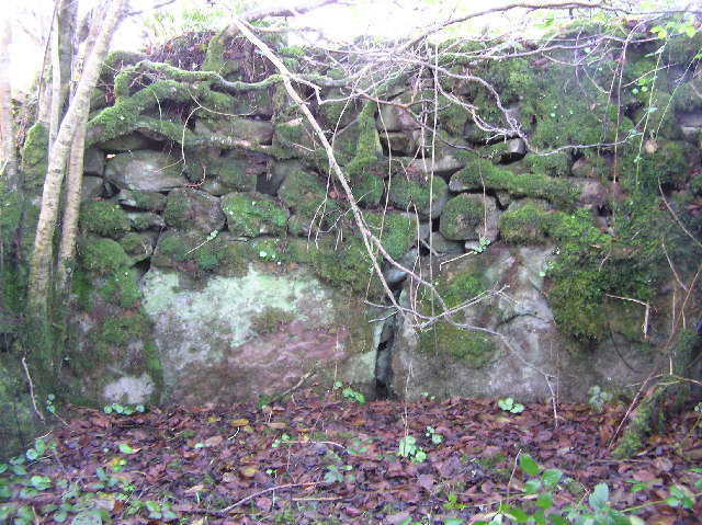 Enclosure in Carrigans UpperEnclosure · 743 yd
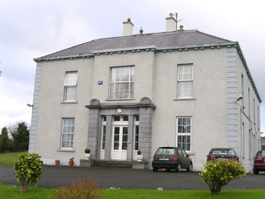 Earlsfieldhouse · 939 yd
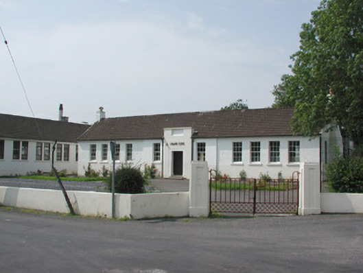 Ballymote Technical Schoolschool · 988 yd
 Brother WalfridMemorial · 1469 yd
 Ballymote CastleCastle · 1475 yd
 RathdoonyCastle, motte · 1.6 mi
 Caves of KeshCave · 3.1 mi
 School CaveCave · 3.3 mi
 Kesh CorannMountain / peak · 3.3 mi
 ElderElder · 3.6 mi
 James MorrisonMemorial · 3.7 mi