What is recorded here
New monument uncovered during excavation by Ros O Maolduin under licence number 03E0633 in advance of the M7 Heath-Mayfield motorway scheme.
The excavation at site F at Cappakeel townland revealed a prehistoric ring-ditch (LA009-050), a linear ditch of medieval date and a series of charcoal production pits (LA009-052). The ring-ditch was relatively small, with an internal diameter of 3.5m. It showed no evidence of any entrance but was disturbed on the NW side by a linear medieval ditch. The burnt deposits that filled the ditch indicate at least two phases of deposition. The linear medieval ditch was orientated on a NE-SW axis, It produced a crutch-headed stirrup-looped ring pin and a rotary grinding stone. The ring pin may date from approx. 1000-1050 AD. Coupled with the finds the linear ditch suggests the existence of a contemporaneous settlement in the vicinity. The ditch may be part of a medieval field system beside an enclosure similar to those recently discovered at Killickaweeny, Co. Kildare, and Balriggan, Co. Louth (Bennett 2006, 289).
Compiled by: Caimin O'Brien
Date of upload: 17 December 2007
The monument record does not grant public access. Check the route and ask the landowner before entering private land.
- What survives
- Recorded monument
Places near here
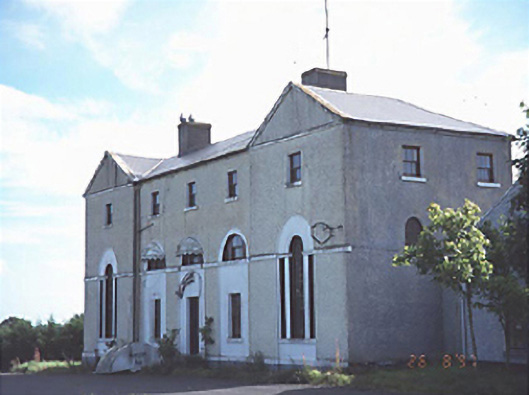 New Inn Housecoaching inn · 645 yd
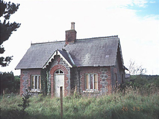 Emo Courtgate lodge · 1165 yd
 Enclosure in MorettEnclosure · 1.0 mi
 Morett Castle (in ruins)House, fortified house · 1.1 mi
 Enclosure in Emo ParkEnclosure · 1.2 mi
 European YewEuropean Yew · 1.5 mi
 Giant SequoiaGiant Sequoia · 1.6 mi
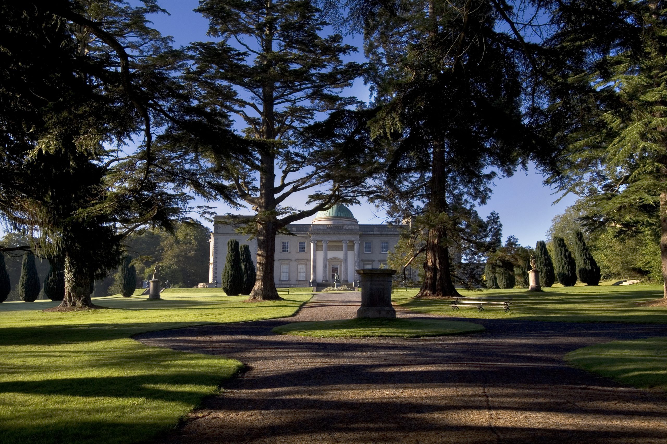 Site of CastleCastle, unclassified · 1.7 mi
 Church (in Ruins), GraveyardChurch · 3.7 mi
 Friary (in Ruins) GraveyardReligious house, unclassified · 4.8 mi
 Morett Church (in Ruins)Church · 1.1 mi
 Enclosure in KilmurryEnclosure · 1.3 mi