What is recorded here
Part of a complex of monuments. Described in 1979 (Topgr. Files, OPW) as a 'system of small curvilinear fields, bounded by stone walls … to the SW, S and E of the cashel [GA056-024001-]'. It appears to have extended over an area measuring c. 750m NE-SW by c. 400m NW-SE. Land reclamation in the early 1980s resulted in partial clearance, though aerial reconnaissance in September 1984 (ASGAP 167:80) indicated that a large area to NE and E of the cashel was still intact.
The above description is derived from the published 'Archaeological Inventory of County Galway Vol. II - North Galway'. Compiled by Olive Alcock, Kathy de hÓra and Paul Gosling (Dublin: Stationery Office, 1999).
Date of upload: 05 August 2010
The monument record does not grant public access. Check the route and ask the landowner before entering private land.
- What survives
- Recorded monument
Places near here
 Megalithic structure in BolisheenMegalithic structure · 386 yd
 IndicatedEnclosure · 1591 yd
 Church in AucloggeenChurch · 1.1 mi
 Site of CastleCastle, unclassified · 1.2 mi
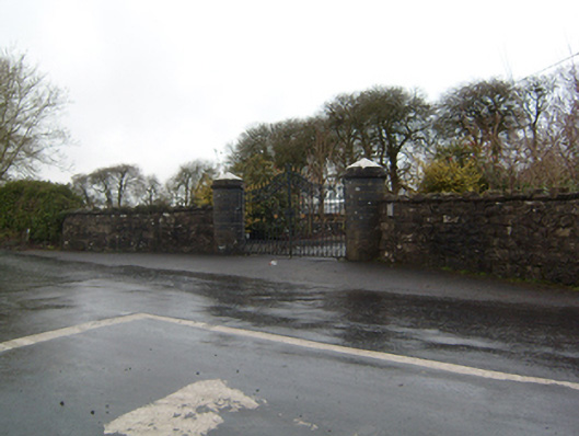 Cahermorris Housedemesne walls/gates/railings · 1.5 mi
 Cregboyne FortBawn · 2.1 mi
 Cregg Castle DemesneForest · 2.2 mi
 Kilcoona Round TowerHeritage attraction · 3.2 mi
 Ballinduff BayBay · 3.7 mi
 European BeechEuropean Beech · 4.3 mi
 Oileán an AoilIsland · 5.5 mi
 Oileán an BhreathnaighIslet · 5.7 mi