
What is recorded here
'No trace of this recorded field system can be traced on the ground , though this may be due to the fact that the lands here have undergone considerable reclaimation and field amalgamation since the mid 1990's. Aerial photography shows the line of now destroyed field boundaries but those visible are as shown on the OS…
Read the whole record
From the National Monuments Service (Archaeological Survey of Ireland) record KE029-227
Places near here
Photo credits
- Maker not stated on source page, www.boboandchichi.com
- Maker not stated on source page, www.istockphoto.com
- Maker not stated on source page, www.alamy.com
- Maker not stated on source page, www.gettyimages.com
- Maker not stated on source page, en.wikipedia.org
- Maker not stated on source page, www.dreamstime.com
- Maker not stated on source page, ru.pinterest.com
- Maker not stated on source page, commons.wikimedia.org
- Willow, Wikimedia Commons · CC BY 2.5
- Ian S, Geograph · CC BY-SA 2.0
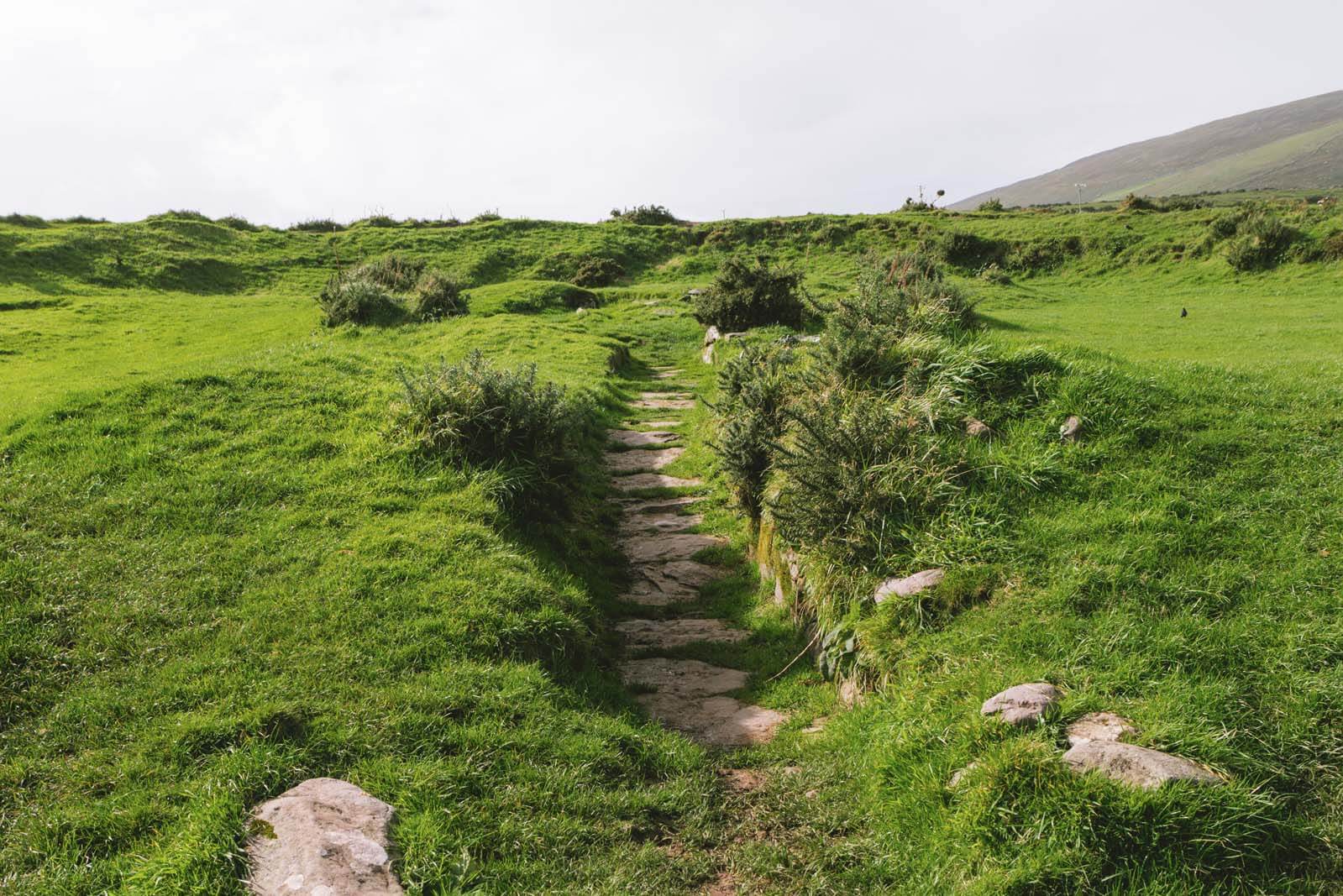 Fairy fort / earthen ringfort in TullygarranFairy fort / earthen ringfort · 480 yd
Explorer Tom Fairy fort / earthen ringfort in Tullygarran has an imaginary twin across the sea that keeps calling it a copycat every…
 Fairy fort / earthen ringfort in Ballinorig EastFairy fort / earthen ringfort · 614 yd
Explorer Tom Fairy fort / earthen ringfort in Ballinorig East is having a massive row with the nearest tree. The bank is three and a…
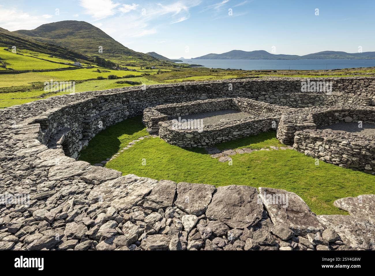 Fairy fort / earthen ringfort in Barrakilla,tullygarranFairy fort / earthen ringfort · 663 yd
Explorer Tom Fairy fort / earthen ringfort in Barrakilla, Tullygarran was once ruled by a goat who had an opinion about everything…
Fairy fort / earthen ringfort in Barrakilla,tonreagh Upper,tullygarranFairy fort / earthen ringfort · 764 ydExplorer Tom Fairy fort / earthen ringfort in Barrakilla, Tonreagh Upper, Tullygarran hears everything through its walls, including…
 Fairy fort / earthen ringfort in Tonreagh UpperFairy fort / earthen ringfort · 793 yd
Explorer Tom Fairy fort / earthen ringfort in Tonreagh Upper is famous for the poet who fell into its ditch and wrote about it. He…
Fairy fort / earthen ringfort in Tonreagh Upper,tullygarranFairy fort / earthen ringfort · 871 ydExplorer Tom Fairy fort / earthen ringfort in Tonreagh Upper would give one star to any visitor who doesn’t bring a flask of…
 Ogham stone (present location) in TullygarranOgham stone (present location) · 882 yd
Explorer Tom Ogham stone in Tullygarran is where a fox once took charge and used the inscriptions as a scratching post. It’s from a…
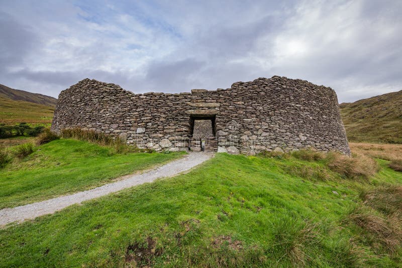 Fairy fort / earthen ringfort in CloghercleminFairy fort / earthen ringfort · 1179 yd
Explorer Tom Fairy fort / earthen ringfort in Clogherclemin would definitely throw a hissy fit if you wandered too close, demanding…
 Ballybeggan Castle ruinsRuins · 1.3 mi
Explorer Tom Ballybeggan Castle ruins is secretly proud of the one potato growing in its corner, treating it like a royal heir. The…
 Church in BallintobeenigChurch · 1.6 mi
Explorer Tom Church in Ballintobeenig is confused because the map makers got the location wrong, so now it’s hiding behind a well.…
 Common Alder1.9 mi
Explorer Tom Common Alder in County Kerry would be the awkward uncle at a wedding who stands by the buffet and says little. It loves…
 Ballyseede CastleGates/railings/walls · 1.9 mi
Explorer Tom Ballyseede Castle’s gateway took about four million cups of tea to build, judging by the intricate limestone piers. The…
More archaeology and monuments in County Kerry · All of County Kerry

What do you know about this place?Tap to add a comment or ask a question