What is recorded here
In tillage, on level ground. Linear system of cropmarks (CASAP) surrounding levelled circular enclosure (CO076-091---) in same field, mostly aligned NE-SW where modern field is broadly N-S.
(1) From NE corner of modern field, one long fosse runs NE-SW, parallel to two shorter fosses further S, separated by distances of 30-60m.
(2) Further to SW, circular enclosure is set into N corner of field defined by short length of NE-SW fosse abutting NW side of enclosure; length of NW-SW fosse abutting NE side, extending c. 30m beyond enclosure, crosses a third fosse running NE-SW.
(3) NW of enclosure, two further short lengths of NE-SW fosse are linked by NW-SE cross divisions.
(4) In SE quadrant of modern field, alignment differs slightly. One long fosse runs c. SSW-NNE from S field fence; further to S, shorter length runs c. N-S into discontinuous curved fosse at its N end; this is linked in turn to a short length of NW-SE fosse with another running at right angles to it.
The above description is derived from the published 'Archaeological Inventory of County Cork. Volume 2: East and South Cork' (Dublin: Stationery Office, 1994). In certain instances the entries have been revised and updated in the light of recent research.
Date of upload/revision: 14 January 2009
The monument record does not grant public access. Check the route and ask the landowner before entering private land.
- What survives
- Recorded monument
Places near here
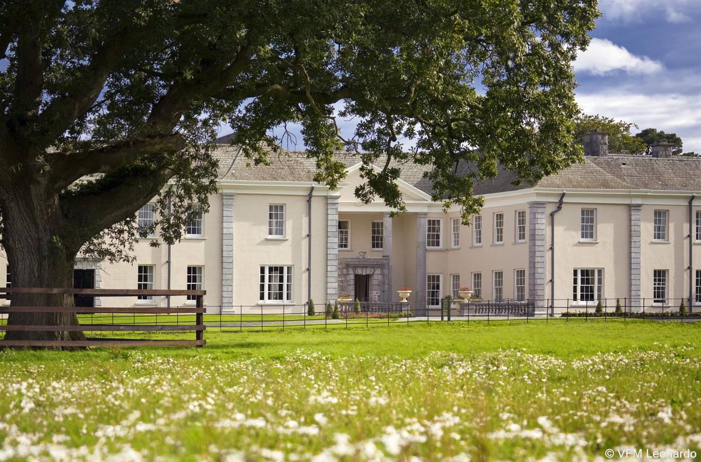 Enclosure in Ballyvodock EastEnclosure · 114 yd
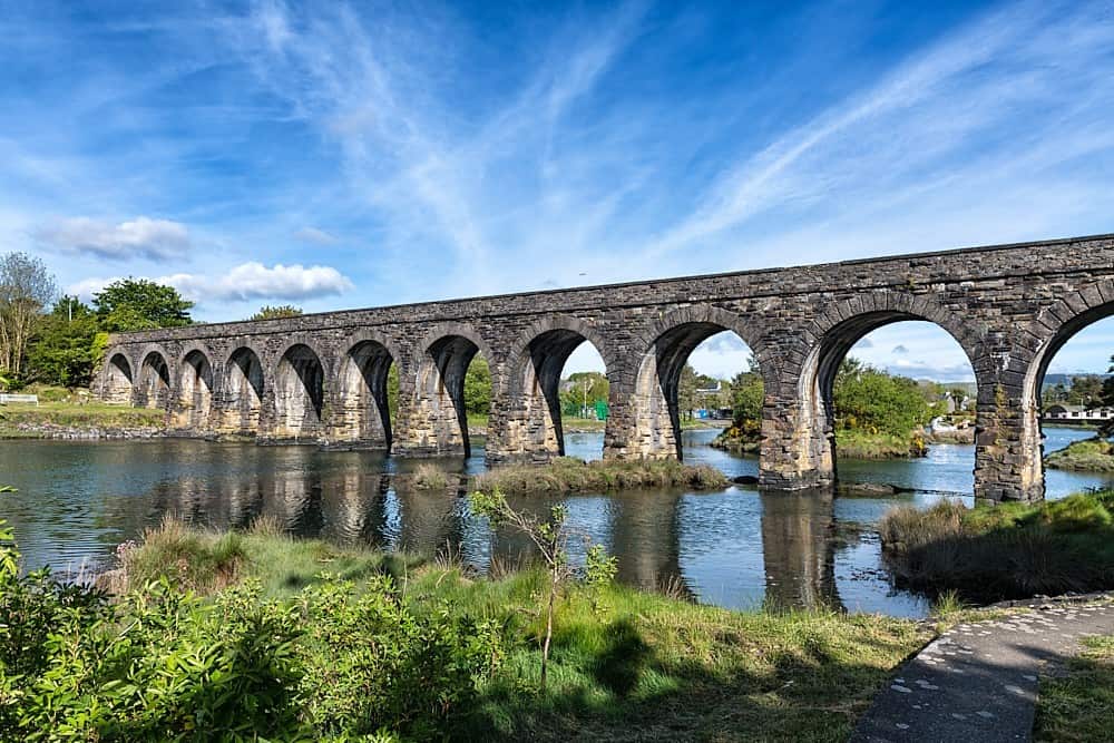 Linear earthwork in Ballynabointra,ballyvodock East,baneshane,water-RockLinear earthwork · 598 yd
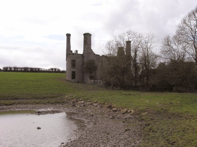 Ballyannan Castle (in Ruins)House, fortified house · 1165 yd
 Gateway in BallyannanGateway · 1192 yd
 Church in BallyannanChurch · 1221 yd
 Ballyannan (Bluebell) WoodsForest · 1754 yd
 Noel Collins BridgeVisitor information · 1.1 mi
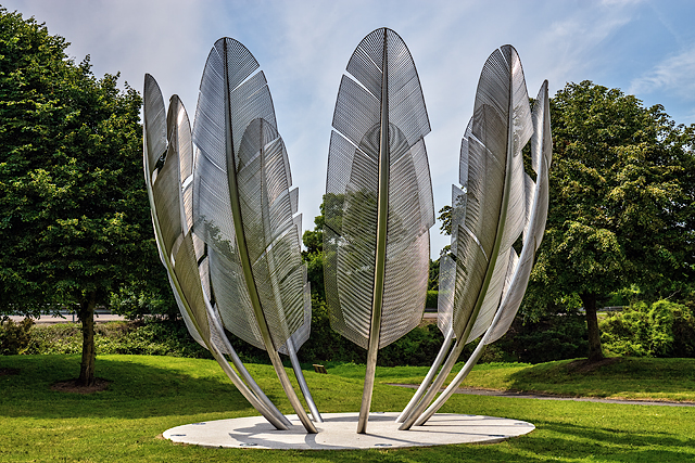 Kindred SpiritsMemorial · 1.1 mi
 Castle Redmond (Site of)Castle, unclassified · 1.2 mi
 Nellie Cashman MonumentMemorial · 1.4 mi
 Jameson Distillery MidletonHeritage attraction · 1.6 mi
 Tower WoodForest · 1.9 mi