What is recorded here
In gently undulating pasture and rock outcrop, overlooking the River Shannon estuary and the confluence with the River Maigue, c. 0.9km to NNE. Not depicted on OS historic mapping. Identified as a field system on aerial photography taken by Michael Moore 04/03/2006. Visible as a series of linear banks and other features in an area of rock outcrop on Google Earth orthoimage taken 05/02/2009 and Digital Globe orthophotos taken 2011-13.
See attached Google Earth orthoimage 05/02/2009.
Compiled by: Alison McQueen and Vera Rahilly
Date of upload: 22 June 2020
See attached ASI aerial photographs ASIAP – taken on 04/03/2006.
The monument record does not grant public access. Check the route and ask the landowner before entering private land.
- What survives
- Recorded monument
Places near here
 Enclosure in BallynacarrigaEnclosure · 158 yd
 schoolschool · 713 yd
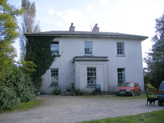 Rockfield Housecountry house · 1024 yd
 Grave YardGraveyard · 1301 yd
 Ballyculhane CastleCastle · 1.2 mi
 Rinekirk PointHeadland · 1.3 mi
 Castle (in ruins)Castle, tower house · 1.4 mi
 Grass IslandIslet · 1.5 mi
 Maiden RockNamed rock · 1.6 mi
 Sailors HaggardMemorial · 3.0 mi
 Bunratty Castlehouse · 3.1 mi
 Ringmoylan PierVisitor information · 3.2 mi