What is recorded here
Located on a fairly level landscape. Earthworks of an unmapped rectangular field system are visible on an oblique aerial photograph (CUCAP: AVT 094) from 1968 and on Google Earth (01/06/2020). They cover an area of about 30 acres (c. 12 ha). A concentrated area (dims c. 160m N-S; c. 140m E-W) is divided into small rectangular plots (dims c. 30m x c. 20m) defined by wide silted ditches (Wth 3-5m; D 0.3-1m) with three silted ponds (diam. c. 20m) amongst the plots. A wide sunken linear feature (Wth c. 10m) extends S from this area and it once bordered a wood that is mapped on the 1836 and 1908 editions of the OS 6-inch map. Longer, narrower and more regular plots (dims c. 50-100m x 10-20m) defined by slighter ditches occupy much of the rest of the area. No house sites are identified, and it may be post-medieval in date and connected with flax-growing.
See the attached enhanced view from Google Earth (01/06/20)
The above description is derived from the published 'Archaeological Inventory of County Meath' (Dublin: Stationery Office, 1987). In certain instances the entries have been revised and updated in the light of recent research.
Compiled by: Michael Moore
Date of upload: 10 July 2007
Amended: 29 October 2021
The monument record does not grant public access. Check the route and ask the landowner before entering private land.
- What survives
- Recorded monument
Places near here
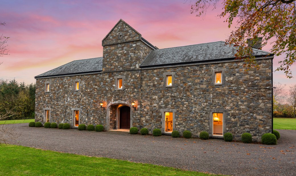 Ballymacoll HouseRuins · 732 yd
 Concentric enclosure in SalestownConcentric enclosure · 953 yd
 Ash HillMountain / peak · 1664 yd
 Enclosure in KilgraigueEnclosure · 1721 yd
 Hanwood GardensHeritage attraction · 1725 yd
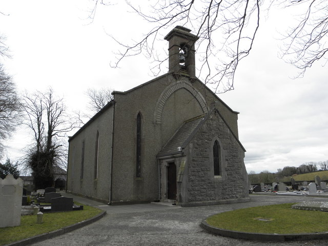 Church in OldcartonChurch · 1.5 mi
 Saint Oliver Plunkett 1625-1681Memorial · 1.6 mi
 CastleCastle, motte · 1.8 mi
 Lebanon CedarLebanon Cedar · 2.1 mi
 HermesMemorial · 2.2 mi
 Moygaddy Tower HouseRuins · 2.4 mi
 The Wonderful BarnHeritage attraction · 4.1 mi