What is recorded here
Ballygrennan is a hidden medieval field system in County Limerick, not marked on historic maps but revealed through aerial photography and excavation. Small square fields, corn-drying kilns, a metal-working site and burning scars show that people farmed, crafted and lived there before the land was forgotten. The church at Uregare stands nearby, while the fields themselves have faded into pasture, waiting to be seen again through shadow and memory.
In pasture, immediately N of road that marks townland boundary with Goat Island and 90m NE of townland boundary with Uregare. Site of Uregare Church (LI040-043----) 300m to SW. Field system with three corn-drying kilns (LI040-006003-/005-), metal working site (LI040-006007) and miscellaneous features (LI040-006006-). Not marked on OSi historic maps. Field system (Site No. 040262) consisting of a series of small adjoining square shaped fields identified during examination of Bórd Gáis Éireann aerial photographs (BGE 2553) taken 03/11/1984 on the Bórd Gáis Éireann gas pipeline. Area inside field system partially excavated during monitoring of topsoil-stripping by Emmet Byrnes (Licence 02E0368) the results of which were summarised as follows; ‘The site was recorded in the SMR as an earthwork (40:6), and during the monitoring of topsoil-stripping a series of features, charcoal-rich material and in situ burning were noted, extending over an area of c. 100 by 30m. The excavation, which took place between 6 April and 17 September 2002, revealed a variety of features associated with medieval rural settlement. Five spatially differentiated phases of activity were identified across the site. The earliest phase was represented by a series of intercutting gullies and ditches, which in one area formed a subrectangular enclosure consistent with a small field system’ (Byrnes 2004, 301). No surface remains visible on Digital Globe orthoimage taken between 2011-13. Faint trace of field system visible as linear cropmarks on Google Earth orthoimages.
See attached aerial photographs from Bórd Gáis Éireann gas pipeline with field system marked 040262 and Google Earth orthoimages
Compiled by: Fiona Rooney
Date of upload: 20 May 2021
The monument record does not grant public access. Check the route and ask the landowner before entering private land.
- What survives
- Recorded monument
Places near here
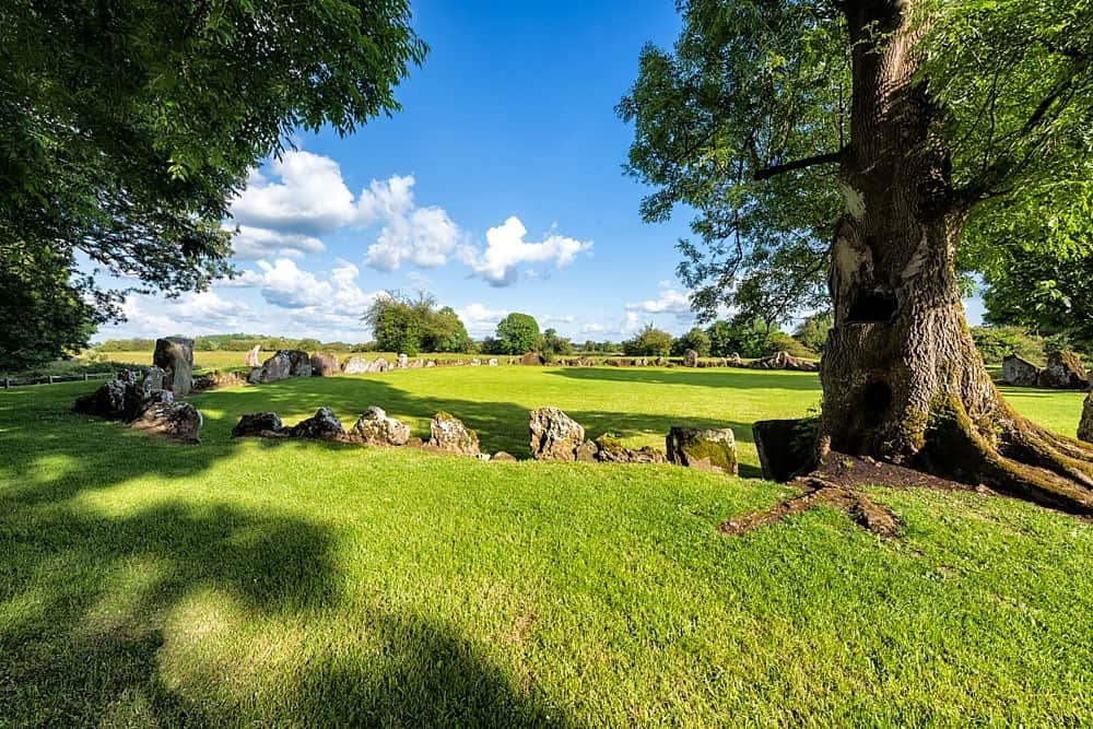 Cultivation ridges in Ballygrennan (coshma By., Bruff Ed)Cultivation ridges · 42 yd
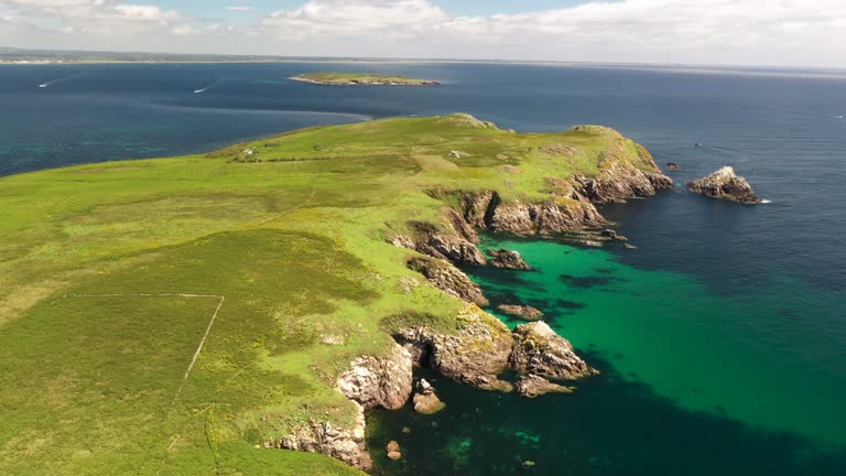 Fulacht fia in Goat IslandFulacht fia · 157 yd
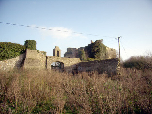 Greenpark Housecountry house · 1031 yd
 Ballygrennan Castle (in ruins)Castle, tower house · 1220 yd
 post boxpost box · 1472 yd
 Castle (in ruins)Castle, unclassified · 1.3 mi
 KnockainyMountain / peak · 3.2 mi
 Flat cemetery in Knockainy WestFlat cemetery · 3.8 mi
 St Patrick's WellSpring · 6.0 mi
 Edmund's WellSpring · 6.3 mi
 Ballinvreena LoopVisitor information · 6.3 mi
 SlievereaghMountain / peak · 7.9 mi