What is recorded here
Low linear earthworks still mark the shoulder of the hill in Ballyellin AND Tomdarragh, enclosing a rectangular space fifty by forty metres. The fields predate the present system, which was already old by 1839, and may belong to the castle shown nearby in 1650. People likely lived there long before the castle rose, dividing damp level ground into usable parts while the hill blocked the worst of the weather.
The following description is derived from the published 'Archaeological Inventory of County Carlow' (Dublin: Stationery Office, 1993). In certain instances the entries have been revised and updated in the light of recent research.
Date of upload/revision: 17 July 2007
Area of low, linear earthworks, on ill-drained but level and sheltered shoulder on hill slope. Includes rectangular enclosure (50m x 40m). Field system predates present system which is older than 1839, and may relate to the castle (CW019-071----) shown in vicinity in 1650.
The monument record does not grant public access. Check the route and ask the landowner before entering private land.
- What survives
- Recorded monument
Places near here
 Ballyellin Church (in ruins)Church · 104 yd
 Grave Yd.Graveyard · 113 yd
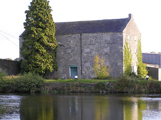 store/warehousestore/warehouse · 645 yd
 Font (present location) in Grange LowerFont (present location) · 1044 yd
 Lord Galmoys Catle (in ruins)Castle, unclassified · 1.5 mi
 Site of CastleCastle, unclassified · 1.8 mi
 Tinnakeenly BogForest · 3.1 mi
 The bogForest · 3.1 mi
 Church (in ruins), GraveyardChurch · 4.4 mi
 Lock Keeper's House and Lodge MillsVisitor information · 5.0 mi
 The Columban WayVisitor information · 5.0 mi
 Kilcullaun Church (in ruins), GraveyardChurch · 6.0 mi