What is recorded here
Ballycasey More held a post-medieval field system beside a roadway, but developers wanted the land before its story could be read. Men dug in 1998, 1999 and 2001, breaking soil that may have marked farms, herds or neighbourly disputes, yet they found only field banks and no clearer proof of the lives those boundaries shaped. The place resists memory. It gives up structure, not meaning, leaving behind a blank space where ordinary people may have lived, worked and disappeared.
A post-medieval field system excavated in 1998 (Licence no. 98E0517) in advance of land sale for development. The field system is associated with a roadway (CL051-176001-). Further excavation (Licence no. 99E0574) (Breen 1999, 9-10, No. 34) and in 2001 (Licence no. 01E0026) (Murphy 2001, 10-11, No. 45) failed to produce any archaeological material other than post-medieval field banks. (Stevens 1998; 2000, 7)
Compiled by: Mary Tunney
Date of upload: 25 July 2016
The monument record does not grant public access. Check the route and ask the landowner before entering private land.
- What survives
- Recorded monument
Places near here
 Enclosure in Ballycasey MoreEnclosure · 111 yd
 Hachured (1951-52)Enclosure · 391 yd
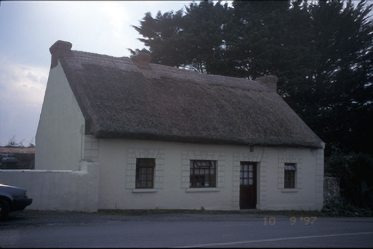 Tigínhouse · 679 yd
 Atlantic Air VentureMuseum · 1153 yd
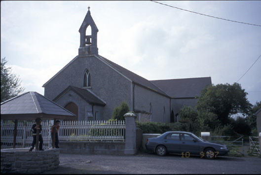 Catholic Church of Our Lady of the Wellschurch/chapel · 1236 yd
 Smithstown/Ballynagowan Castle (in Ruins)Castle, tower house · 1334 yd
 CastleCastle, motte and bailey · 1623 yd
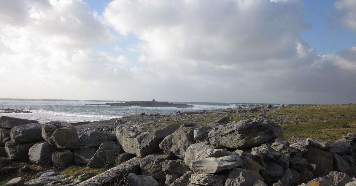 Illauninanagh PointHeadland · 1.4 mi
 Drummin PointHeadland · 1.5 mi
 Pan Am Flight 1-10aviation accident · 1.8 mi
 Sweet ChestnutSweet Chestnut · 1.9 mi
 Bunratty Castlehouse · 2.1 mi