What is recorded here
Just W of the corn-drying kiln (ME025-095003-) and the cistern area (ME025-095002-) an L-shaped gully (L c. 50m; Wth 1.2-1.4m; D 0.1-0.4m) runs NNW-SSE (L 48m) and turns SW (L 10m) just N of the major E-W channel of the cistern area where it ends. The single fill of silty clay yielded a clay pipe stem, and although its full extent cannot be gauged it is thought to enclose a small plot to the W. Its SW section ran parallel to and just N of an earlier ditch (L 15m plus; Wth 2.3m; D 0.5m) that turned NW at its W end while its NE end emerged from but was earlier than the major E-W ditch in the cistern area. Three cuts of this ditch were identified and although sherds of medieval pottery were scarce, post-medieval material was entirely absent and this is thought to be the remnant of a medieval field system. Archaeological testing (22E0165) by S. McGlade just to the SW produced no related material (excavations.ie 2022:094). (McGlade and Ruddy 2019, 34-36)
See the attached site plan from McGlade and Ruddy (2019, P 33)
Compiled by: Michael Moore
Date of upload; 13 April 2023
McGlade, S. and Ruddy, S. 2019 Excavation of Site A, Bailis, & Monitoring Alexander Reid, Navan. Licence: 16E0449. Unpublished report, Archaeology Plan
The monument record does not grant public access. Check the route and ask the landowner before entering private land.
- What survives
- Recorded monument
Places near here
 Enclosure in Alexander ReidEnclosure · 385 yd
 Enclosure in AthlumneyEnclosure · 1061 yd
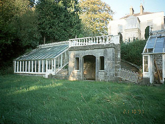 Boyne View Housesummerhouse · 1314 yd
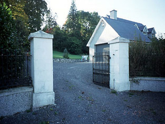 Belmount Housegates/railings/walls · 1530 yd
 CastleCastle, motte · 1707 yd
 The RampartWood · 1.2 mi
 Carn HillMountain / peak · 1.2 mi
 Rowley's WoodWood · 1.4 mi
 Donaghmore Round TowerHeritage attraction · 1.6 mi
 Dunmoe CastleCastle, unclassified · 1.9 mi
 Nangle CourtMemorial · 2.1 mi
 Hill of TaraVisitor information · 4.9 mi