
What is recorded here
Five radiating walls carve the steep valley into fields, forcing life onto scree and cliff edges rather than retreatting from them. The name links the place to St. Brendan and a hidden monastery, yet a few families still called it home at the start of the nineteenth century. Their fields are empty now, but the walls remain, marking the exact line where human ambition met the brutality of the sea.
Fohernamanagh/Fothair na Manach: The ecclesiastical nature of this settlement (KE025-001001-) is only indirectly suggested by its name and by its traditional association with St. Brendan. He is said both to have founded a monastery here (O'Donoghue 1895, 327-8) and to have sojourned here for a while before embarking on his legendary sea voyage (An Seabhac 1939, 132). Its remote location (it is undoubtedly the most inaccessible settlement on mainland Corca Dhuibhne) also suggests a monastic settlement. However, despite its isolation and the difficulty of access, the valley is reputed to have been occupied at the beginning of the 19th century by 3 or 4 families (Power 1923, 75-6), and it is not clear to what extent the present form of the settlement is attributable to this recent occupation.
A now disused field system (KE025-001015-) enclosed most of the good land in the valley. Five field walls radiate out from the enclosure to form 5 fields, the E or upslope fields being rough and scree-strewn, the downslope ones providing fair grazing. Below and to W of these are 3 small rectangular fields, the 2 northernmost preserving traces of cultivation ridges. Apart from a semi-circular field which abuts the SE side of the ravine to N of the main settlement, the remainder of the fields are defined by the walls which skirt the edges of the ravines and sea cliffs and by a few cross-walls running between the ravines.
The above description is derived from J. Cuppage, ‘Corca Dhuibhne. Dingle Peninsula archaeological survey. Ballyferriter. Oidhreacht Chorca Dhuibhne’ (1986), no. 826. In certain instances the entries have been revised and updated in the light of recent research.
Date of upload: 8 August 2013
The monument record does not grant public access. Check the route and ask the landowner before entering private land.
- What survives
- Recorded monument
Places near here
 Structure in Baile Na Habha (tc Cill Chuáin)Structure · 74 yd
 Ecclesiastical site in Baile Na Habha (tc Cill Chuáin)Ecclesiastical site · 104 yd
 Más an TiompáinMountain / peak · 1250 yd
 Brandon Head Signal TowerRuins · 1429 yd
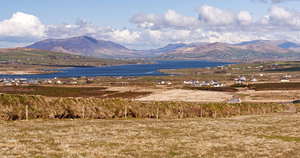 Piaras Mór (mullach thuaidh)Mountain / peak · 1499 yd
 Tearmann Dúlra Cnoc Bréanainn / Mount Brandon Nature ReserveNature reserve · 1.1 mi
 Penitential station in An FhaichePenitential station · 2.0 mi
 World War II plane crash site: Engine of Focke-Wulf Fw 200 CondorHeritage attraction · 2.4 mi
 Brandon CreekViewpoint · 2.7 mi
 Cúinne an MhionnáinHeadland · 4.3 mi
 Moorestown CastleCastle · 4.3 mi
 An CheapaighBeach / strand · 4.6 mi
Other information
Photo: Credit not shown in the picture search · Rights wording not checked; contact us if this picture should be removed