What is recorded here
Cropmark of two conjoined square-shaped enclosures visible on Google Earth aerial photograph taken 28/06/2018. Outline of cropmark visible on Digital Globe aerial photograph. It is possible that these cropmarks represent the remains of two pre-1700 fields or possibly a conjoined moated site. The E cropmark represents the remains of a square shaped enclosure (approx. dims. 35m N-S x 35m E-W). The W cropmark represents the remains of a large square shaped enclosure (approx. dims. 43m N-S x 48m E-W). The cropmark of a linear earthwork running along S side of the two enclosures may represent the remains of a field boundary of pre-1700 date.
See attached image taken from Google Earth
Compiled by: Caimin O'Brien based on details kindly provided by Chris Corlett
Date of upload: 27 November 2018
The monument record does not grant public access. Check the route and ask the landowner before entering private land.
- What survives
- Recorded monument
Places near here
 Enclosure in ArdnagrossEnclosure · 191 yd
 IndicatedEnclosure · 610 yd
 Saint Ita's Catholic Churchchurch/chapel · 764 yd
 Ardscull MoatCastle, motte · 926 yd
 History of Moat of ArdscullVisitor information · 1019 yd
 European BeechEuropean Beech · 1025 yd
 Gorden Bennet Race memorialMemorial · 1033 yd
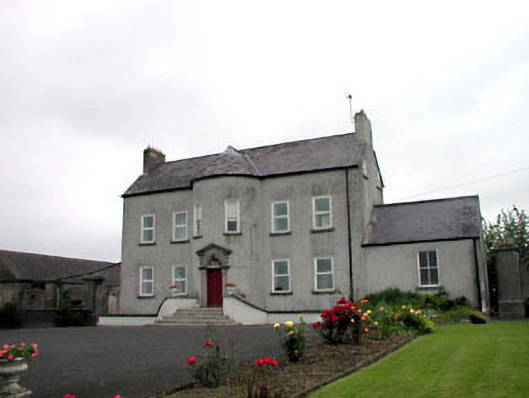 Youngstown Housefarm house · 1037 yd
 CastleCastle, unclassified · 2.1 mi
 Scots PineScots Pine · 2.1 mi
 Battle of Kilrushbattle · 2.9 mi
 1798 memorialMemorial · 4.1 mi