What is recorded here
This field system run roughly E-W across the summit and eastern slope of the hill. It is clearly visible on Bing aerial photograph 2012, 26 November 2012. The hillside is heavily overgrown with ferns and gorse, however, the field boundaries visible on the aerial photograph are apparent on the ground as stone walls (Wth c. 1.8m; H 0.6-1m). There is an irregular field (dims. c. 100m N-S; c. 50m E-W) towards the northern end of the visible field system with an enclosure (WI042-029----) within it and another enclosure (WI042-048----) immediately W of it. There are a number of clearance cairns (WI042-028----) immediately W and SW of this irregular field, some are within a long E-W field (dims. c. 220m E-W; c. 30-40m N-S) which runs S of the irregular field. Other field walls are visible towards the top of the summit and on the eastern slope of the hill.
Compiled by: Jean Farrelly
Date of upload: 26 November 2012
The monument record does not grant public access. Check the route and ask the landowner before entering private land.
- What survives
- Recorded monument
Places near here
 Enclosure in Aghowle Lower (shillelagh By.)Enclosure · 204 yd
 Enclosure in Boley (shillelagh By.)Enclosure · 398 yd
 Aghowle Church (in Ruins)Church · 1284 yd
 European BeechEuropean Beech · 1.3 mi
 SycamoreSycamore · 1.3 mi
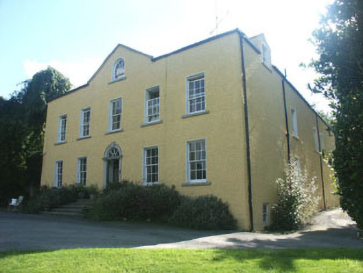 Money Housecountry house · 1.4 mi
 Ballynultagh HillMountain / peak · 2.9 mi
 Church (in ruins), GraveyardChurch · 3.6 mi
 CastleCastle, motte and bailey · 3.9 mi
 Clonogan Castle (site of)Castle, unclassified · 4.5 mi
 Altamont House and GardensHeritage attraction · 5.2 mi
 Altamont Gardens MapVisitor information · 5.3 mi