
What is recorded here
Situated at the NE edge of a level upland ridge partly covered by peat. Small sub-square enclosure with rounded corners (diam. 10.15m E-W; 9m N-S; int. dims. 8.35m E-W; 7.7m N-S) defined by an earth and stone bank (Wth 1.8m; H 0.5-1m; H above int. 0.6m; H above ext. 0.4m) with an entrance (Wth 2m) at the E. The enclosure is at the NE side of an irregular field defined by an earthen bank. There is an enclosure (WI042-048----) c. 50m to the ENE and an adjacent clearance cairn.
The above description is derived from the published 'Archaeological Inventory of County Wicklow' (Dublin: Stationery Office, 1997). In certain instances the entries have been revised and updated in the light of recent research.
Compiled by: Jean Farrelly
Date of upload: 22 November 2011
The monument record does not grant public access. Check the route and ask the landowner before entering private land.
- What survives
- Recorded monument
Places near here
 Enclosure in Boley (shillelagh By.)Enclosure · 377 yd
 Cross-slab in Aghowle Lower (shillelagh By.)Cross-slab · 1113 yd
 Aghowle Church (in Ruins)Church · 1120 yd
 European BeechEuropean Beech · 1.2 mi
 SycamoreSycamore · 1.2 mi
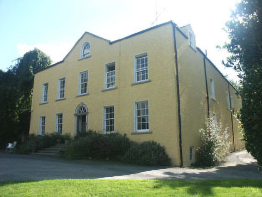 Money Housecountry house · 1.4 mi
 Ballynultagh HillMountain / peak · 3.0 mi
 Church (in ruins), GraveyardChurch · 3.5 mi
 CastleCastle, motte and bailey · 3.8 mi
 Clonmore Castle (in Ruins)Castle, Anglo-Norman masonry castle · 4.5 mi
 Altamont House and GardensHeritage attraction · 5.1 mi
 Altamont Gardens MapVisitor information · 5.2 mi
Other information
Photo: Credit not shown in the picture search · Rights wording not checked; contact us if this picture should be removed