What is recorded here
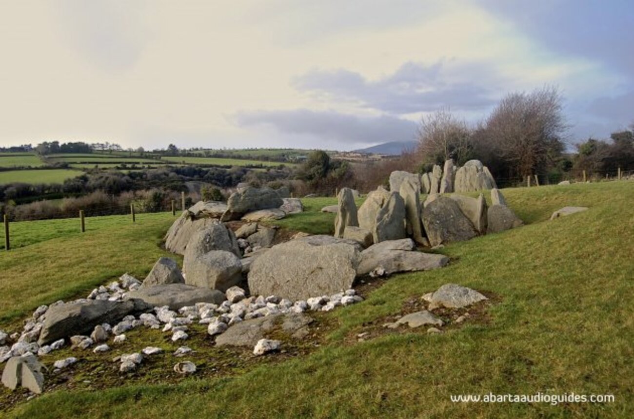
Thirty centuries of rain and moss have swallowed the fields, but the fulacht fiadh still stands 1.65m tall, its horseshoe of fire-shattered stone waiting to boil water for hands that vanished before written history. The boundary walls emerge only in fragments, upright slabs poking through the bog like ribs beneath skin, marking margins no living person remembers. This is not ruin in the dramatic sense. It is a place where human effort disappeared so completely that the mountain itself must be imagined as the witness.
A number of pre-bog walls, a fulacht fiadh and a hut are located in gentle sloping land, at the foot of Meenteog mountain. The Owroe river flows to the Inny Valley at S, and elsewhere the site is ringed by mountains. The walls are exposed for a short distance in the vicinity of the fulacht fiadh. They run E-W and are mainly formed of upright slabs, some of which protrude only .2m above the surface of the bog. The longest individual stretch of exposed wall is c. 16m long.
The fulacht fiadh (KE081-039001-) overlies a portion of one wall. It is horseshoe-shaped in plan, measuring 11.4m N-S x 12.5m E-W, and stands to a height of 1.65m. The mound is open at NW, where a subrectangular depression measures 5.5m N-S x 2.8m E-W. It is composed of small, fire-shattered stone and burnt soil with a high charcoal content. A number of large upright slabs protrude through the bog's surface around the site. A small stream flows adjacent at W, and the remains of a circular hut (KE081-039003-) occur 25m to W. It measures 5.6m N-S x 4.9m E-W internally, and the walls are roughly constructed of large slabs.
The above description is derived from A. O'Sullivan and J. Sheehan (compilers), 'The Iveragh peninsula: an archaeological survey of South Kerry'. Cork University Press (1996), no. 67. In certain instances the entries have been revised and updated in the light of recent research.
Date of upload: 28 July 2013
The monument record does not grant public access. Check the route and ask the landowner before entering private land.
- What survives
- Recorded monument
Places near here
 Com an CharriaMountain / peak · 1.4 mi
 Cloghaunleaghaniska Fort (Site of)Fairy fort / earthen ringfort · 1.6 mi
 Man-made underground passage in Knockroe (iveragh By.)Man-made underground passage · 1.8 mi
 Meenteog South-East TopMountain / peak · 1.9 mi
 Church in CaherlehillanChurch · 3.4 mi
 Short Castle (Site of)Castle, unclassified · 5.4 mi
 Killinane Church (in ruins)Church · 5.4 mi
 Soft Tree-fernSoft Tree-fern · 5.8 mi
 Sheep Dog TrainingHeritage attraction · 5.8 mi
 Chilean wine palmChilean wine palm · 5.8 mi
 FeaklecallyHeadland · 5.9 mi
 Kells BeachBeach / strand · 6.1 mi