What is recorded here
Not included in the SMR (1989) but listed in the RMP (1995) and classified 'Field Bank(s)'. This area is traversed by a number of now relict field boundaries that are shown on the 1913 edition of the OS 6-inch map to the NNW of Man-made underground passage (SL013-043---). These appear no different than other boundaries in the area and do not appear to be of any great antiquity.
Compiled by: Patrick O'Donovan
Date of upload: 27 January 2011
The monument record does not grant public access. Check the route and ask the landowner before entering private land.
- What survives
- Recorded monument
Places near here
 Enclosure in ToberawnaunEnclosure · 184 yd
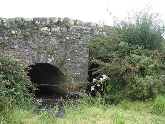 Ardnaglass Bridgebridge · 718 yd
 Enclosure in MasreaghEnclosure · 824 yd
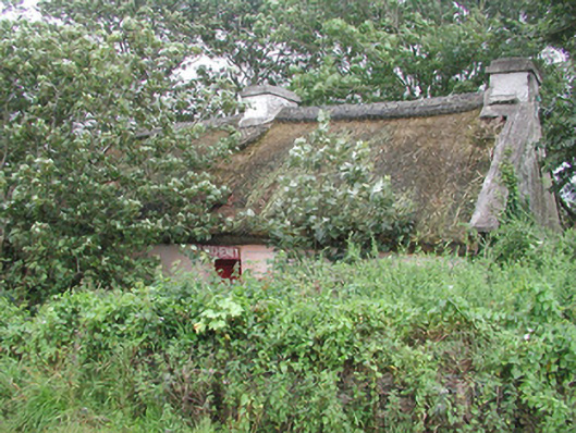 P. Breheneyhouse · 938 yd
 Dunmoran StrandBeach / strand · 1409 yd
 CastleCastle, Anglo-Norman masonry castle · 1633 yd
 Aughris BeachBeach / strand · 1.4 mi
 Aughris HeadHeadland · 2.4 mi
 Bawn in CarrowbrickeenBawn · 2.6 mi
 Derkmore PointHeadland · 3.2 mi
 Giant's GraveArchaeological place · 3.5 mi
 Valley WoodForest · 3.5 mi