What is recorded here
Earthworks to the East of Tinwear Brick Works of 18th or 19th century in date, the earthworks are probably also of the same date. The earthworks depicted on the 1906 edition of the OS 6-inch map appear to be the same as the field boundary of the brick works that are depicted on the 1838 edition of the OS 6-inch map.
Compiled by: Caimin O'Brien
Date of upload: 12 December 2011
The monument record does not grant public access. Check the route and ask the landowner before entering private land.
- What survives
- Recorded monument
Places near here
 Enclosure in TinwearEnclosure · 137 yd
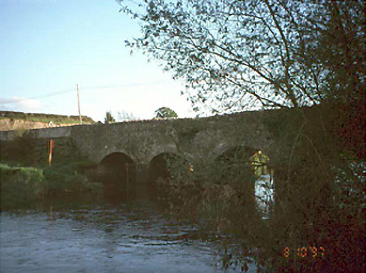 Tallyho Bridgebridge · 647 yd
 Knocknatrina Househouse · 790 yd
 Cross in Castledurrow DemesneCross · 1.1 mi
 Durrow CastleCastle · 1.2 mi
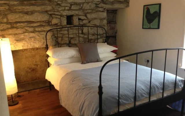 Bawn in FermoyleBawn · 1.7 mi
 Anker's IslandIsland · 1.8 mi
 Pedunculate OakPedunculate Oak · 3.9 mi
 Birchfield PlantationForest · 4.0 mi
 1798 MonumentMemorial · 4.1 mi
 Donaghmore WellSpring · 4.5 mi
 Cnoc SeanrathaMemorial · 9.0 mi