What is recorded here
In a mature coniferous forest, in an area of cutaway bog, on a hill to the N of Capeen. According to local information, the remains of possible relict field boundaries were uncovered 'three to four spades down' when turf was cut in this area in the past. The ground surface, which was disturbed during planting, is now obscured by a thick covering of forest debris, making it impossible to find traces of the possible field boundaries.
The above description is derived from 'The Archaeological Inventory of County Cork. Volume 5' (Dublin: Stationery Office, 2009).
Date of upload: 22 December 2009
The monument record does not grant public access. Check the route and ask the landowner before entering private land.
- What survives
- Recorded monument
Places near here
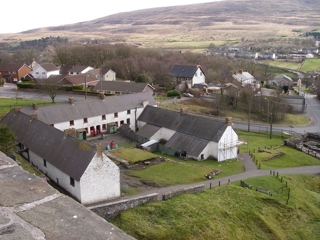 LabbaowenWedge tomb · 330 yd
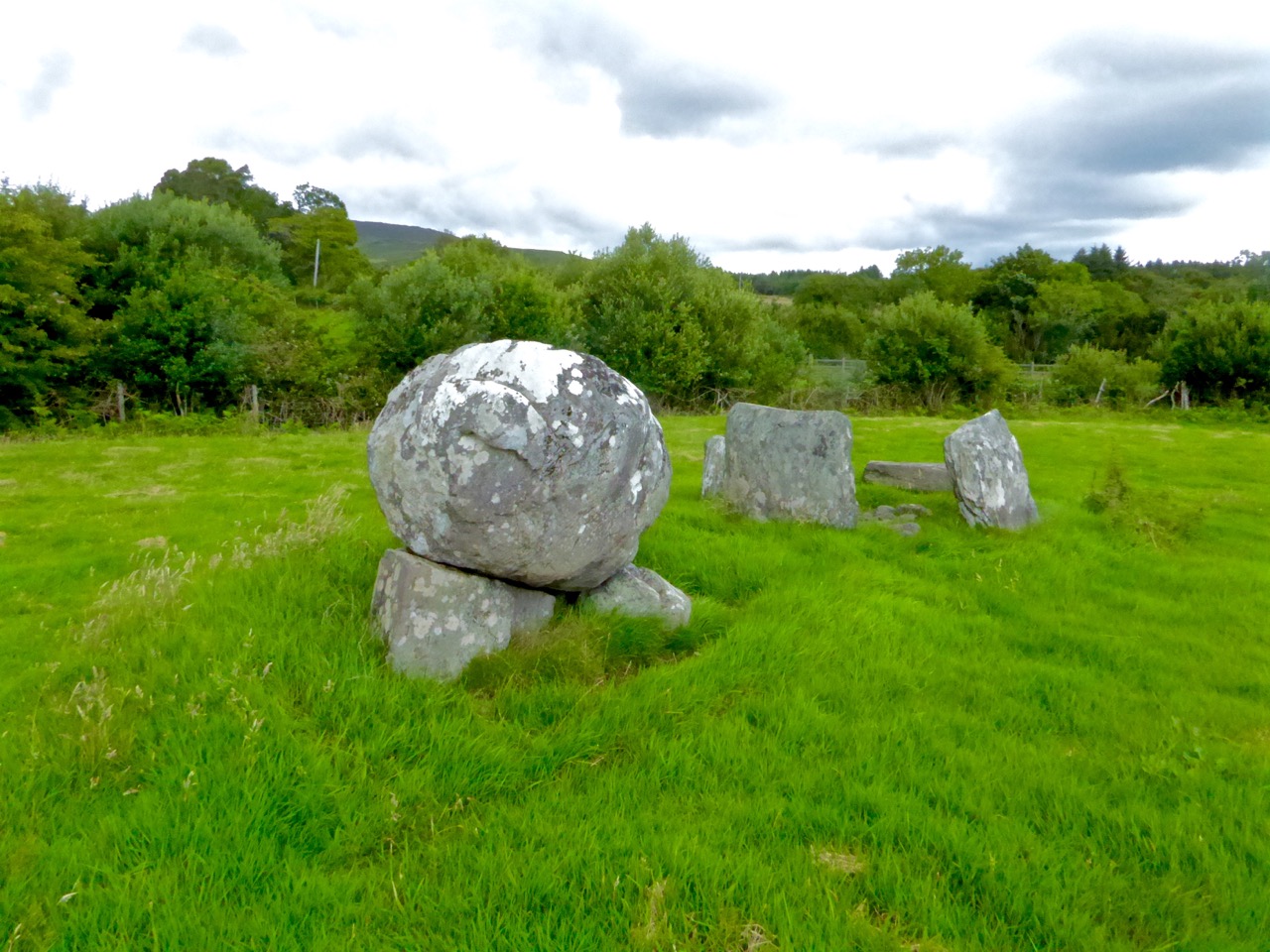 Boulder-burial in ClashbredaneBoulder-burial · 631 yd
 KilnKiln, lime · 1.8 mi
 monumentmonument · 2.2 mi
 Kilmichael Ambush SiteMonument · 3.0 mi
 Kilmichael Ambushambush · 3.1 mi
 Green HillMountain / peak · 3.5 mi
 Castle RockNamed rock · 3.5 mi
 OCrowleys Castle (in Ruins)Castle, tower house · 3.6 mi
 Dromcarra Castle (in Ruins)Castle, tower house · 3.9 mi
 Summerhouse WoodForest · 3.9 mi
 Kilmurry WoodsPicnic place · 4.7 mi