What is recorded here
Two abandoned walls still bracket the Wedge-tomb at Roshin, one stretching fifty-four metres toward a sea inlet before dissolving into grass. The other runs west, partly modern but seeded with ancient slabs set close together. They do not divide sheep or people now. They draw a circle around memory itself, as if the tomb needed a boundary because even death wants its own field.
Two disused field walls possibly associated with a nearby Wedge-tomb (114). Wall A runs from a modern field wall beside the tomb for a distance of 54m eastwards. It fades out short of a sea inlet to the E. The wall seems to have been composed of two lines of slabs closely set giving an overall thickness of from .4m to .6m. Wall B is marked on the OS 3rd edition. It runs WSW from the tomb (114). This is mainly a modern wall but the most easterly 25m incorporates some slabs set in a similar fashion to wall A.
See also Knockfola (1424).
The above description was derived from the 'Archaeological Survey of County Donegal. A description of the field antiquities of the County from the Mesolithic Period to the 17th century.' Compiled by: Brian Lacey with Eamon Cody, Claire Cotter, Judy Cuppage, Noel Dunne, Vincent Hurley, Celie O'Rahilly, Paul Walsh and Seán Ó Nualláin (Lifford: Donegal County Council, 1983). In certain instances the entries have been revised and updated.
Date of upload: 22 September 2008
The monument record does not grant public access. Check the route and ask the landowner before entering private land.
- What survives
- Recorded monument
Places near here
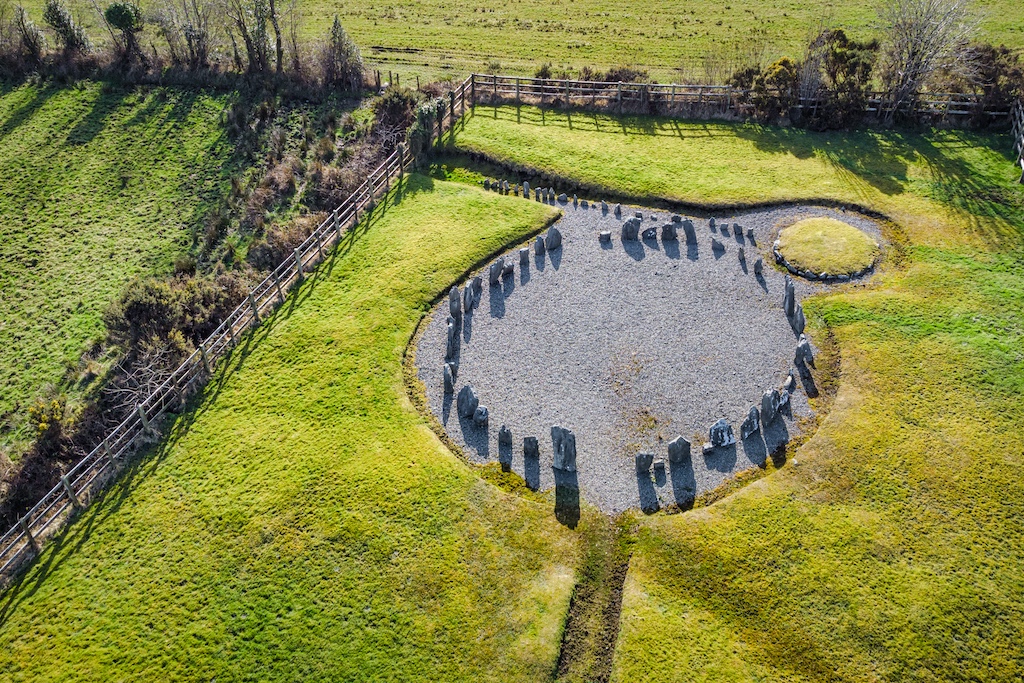 Drumanoo Stone Ringfort and Man-made underground passageFairy fort / stone ringfort · 989 yd
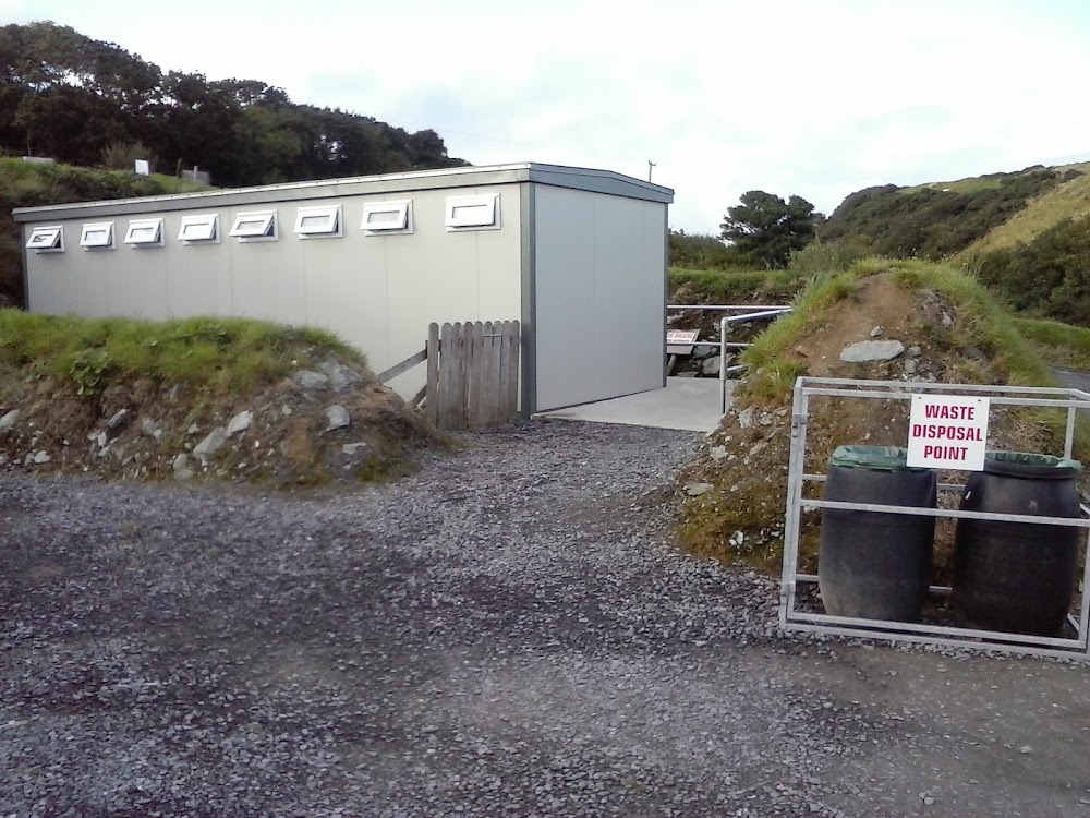 Roshin EnclosureEnclosure · 1262 yd
 Rotten Island LighthouseLighthouse · 1271 yd
 Rotten IslandIslet · 1283 yd
 Carntullagh HeadHeadland · 1482 yd
 Rashenny PointHeadland · 1671 yd
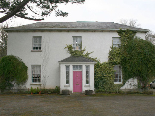 The Old Rectory or St. Catherine'srectory/glebe/vicarage/curate's house · 1.0 mi
 Cat CastleCastle, tower house · 1.1 mi
 Bawn in KillybegsBawn · 1.4 mi
 FintraOfficial bathing water · 1.8 mi
 Rabley HillMountain / peak · 2.3 mi
 European BeechEuropean Beech · 2.4 mi