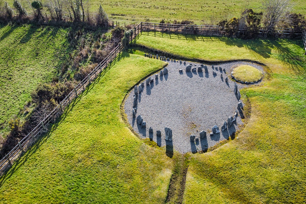
What is recorded here
Internal diam. 15.2m N-S, 16.9m E-W. A subcircular area enclosed by a collapsed stone wall originally c. 2.2m in width and up to .56m in height. In some places inner and outer wall facing up to three courses in height is preserved. A largely filled-in Man-made underground passage (DG097-032002-) occurs in the SE sector of the interior. It is orientated ENE-WSW. It is evident as a depression on the surface 5.1m in length widening from .85m to 2m in width at its WSW end. One roof slab is visible in this depression. The width of the top of the sou-terrain beneath is 1.1m. The ENE end of the souter-rain may have run under the cashel wall. Encircling the cashel wall at a distance of 21m on the N side is a discontinuous wall or setting of stones. This is 6m to 7m below the level of the cashel wall. The site is located on a height with commanding views and rock outcrop.
The above description was derived from the 'Archaeological Survey of County Donegal. A description of the field antiquities of the County from the Mesolithic Period to the 17th century.' Compiled by: Brian Lacey with Eamon Cody, Claire Cotter, Judy Cuppage, Noel Dunne, Vincent Hurley, Celie O'Rahilly, Paul Walsh and Seán Ó Nualláin (Lifford: Donegal County Council, 1983). In certain instances the entries have been revised and updated.
Date of upload: 22 September 2008
The monument record does not grant public access. Check the route and ask the landowner before entering private land.
- What survives
- Recorded monument
Places near here
 Drumanoo HeadHeadland · 1215 yd
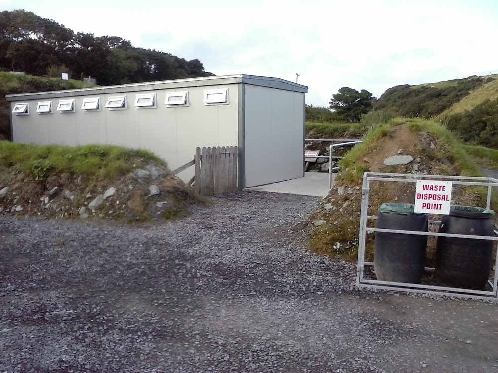 Roshin EnclosureEnclosure · 1.2 mi
 Rotten Island LighthouseLighthouse · 1.3 mi
 Rotten IslandIslet · 1.3 mi
 Carntullagh HeadHeadland · 1.4 mi
 Glebe EnclosureEnclosure · 1.5 mi
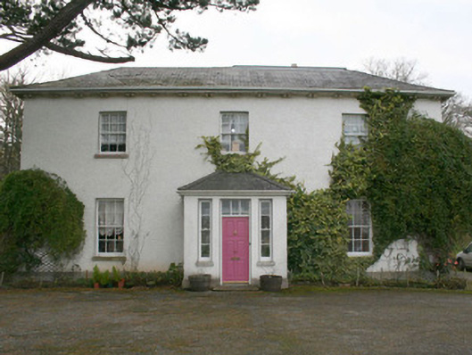 The Old Rectory or St. Catherine'srectory/glebe/vicarage/curate's house · 1.5 mi
 Cat CastleCastle, tower house · 1.6 mi
 FintraOfficial bathing water · 1.7 mi
 Bawn in KillybegsBawn · 1.8 mi
 Rabley HillMountain / peak · 2.4 mi
 European BeechEuropean Beech · 3.0 mi
Other information
Photo: Credit not shown in the picture search · Rights wording not checked; contact us if this picture should be removed