What is recorded here
On a rough hill pasture terrace, on the S-facing rocky slopes of Eagle Hill. Intermittent traces of relict stone field boundaries (T 0.55m; H 0.5m) protrude above the bog cover in a roughly rectangular area (c. 150m E-W; c. 80m N-S). The remaining large stones along the relict boundaries are largely obscured by gorse and heather. Three hut sites (CO114-065001-, CO114-065002-, CO114-065003-) are within this area.
The above description is derived from 'The Archaeological Inventory of County Cork. Volume 5' (Dublin: Stationery Office, 2009).
Date of upload: 22 December 2009
The monument record does not grant public access. Check the route and ask the landowner before entering private land.
- What survives
- Recorded monument
Places near here
 Hut site in ReentruskHut site · 28 yd
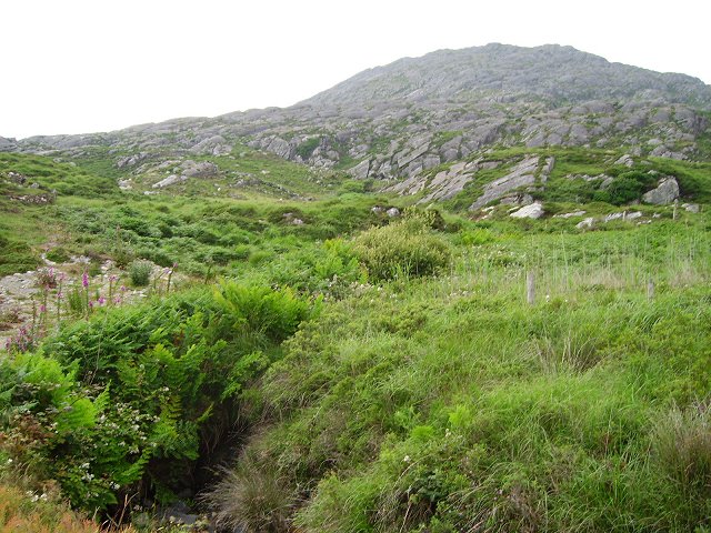 Eagle HillMountain / peak · 501 yd
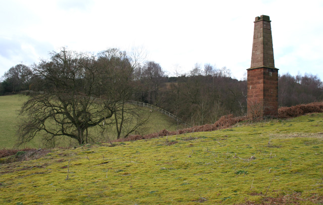 MineMine, copper · 843 yd
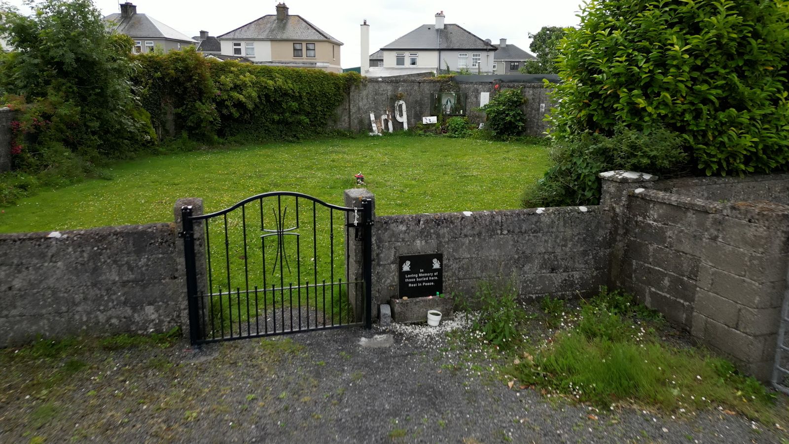 Children's burial ground in ReentruskChildren's burial ground · 1080 yd
 Black RockIslet · 1523 yd
 Blue IslandsIslet · 1.0 mi
 KnocknagallaunMountain / peak · 1.1 mi
 Caherkeen Mass RockHeritage attraction · 1.2 mi
 DooneenViewpoint · 1.3 mi
 Industrial chimney in AllihiesIndustrial chimney · 1.3 mi
 Mass RockVisitor information · 1.3 mi
 Allihies Copper Mine MuseumMuseum · 2.1 mi