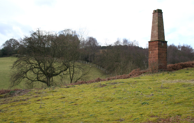
What is recorded here
In rough grazing, on a S-facing rocky hillside, midway between the areas known as Eskavaud and Eskakininaun. Traces of quartz are visible in a NE-SW ridge of rock. The adit (max. H 2m; max. Wth 3m) extends along the base of the rock for c. 18m. Immediately in front of it is a grass-covered spoil mound (H 2m; Wth c. 5m at base) which slopes down to the SE. Broken stone mauls and mining debris resulting from fire-setting are exposed intermittently along the length of the mound. Material from the spoil mound has slipped back into the adit. The floor of the adit is dry, any water in it eventually seeps out through the spoil mound. The stone walls of a now roofless, rectangular animal shelter stand on the spoil mound. A stream flows to the SE of the mine.
The above description is derived from 'The Archaeological Inventory of County Cork. Volume 5' (Dublin: Stationery Office, 2009).
Date of upload: 22 December 2009
The monument record does not grant public access. Check the route and ask the landowner before entering private land.
- What survives
- Recorded monument
Places near here
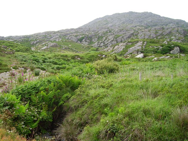 Eagle HillMountain / peak · 514 yd
 Black RockIslet · 805 yd
 Hut site in ReentruskHut site · 846 yd
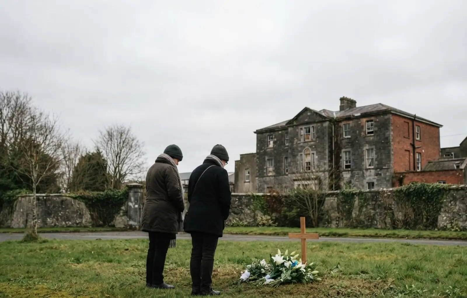 Children's burial ground in ReentruskChildren's burial ground · 1471 yd
 Blue IslandsIslet · 1.2 mi
 DooneenViewpoint · 1.5 mi
 KnocknagallaunMountain / peak · 1.5 mi
 Industrial chimney in AllihiesIndustrial chimney · 1.5 mi
 Old Copper MineRuins · 1.6 mi
 Caherkeen Mass RockHeritage attraction · 1.7 mi
 Mass RockVisitor information · 1.8 mi
 Allihies Copper Mine MuseumMuseum · 2.3 mi
Other information
Photo: Credit not shown in the picture search · Rights wording not checked; contact us if this picture should be removed