What is recorded here
Thirty-five stretches of boulders and slabs still mark a forgotten field at the head of the Bridia valley. They form angles around a small enclosed chamber, while a burning site waits nearby and rock art hides within the boundary. The ridge faces north above the Caragh river, preserving a shape that water, wind and time have not erased.
This complex, composed of thirty-five stretches of pre-bog walls, is located on a N facing ridge at the head of the Bridia valley and directly S of the Caragh river. The walls are exposed to an average height of .55m and vary from 10m to 70m long. They are constructed of boulders and slabs set on edge. Both linear and curvilinear stretches occur, and isolated intersections are apparent. Centrally located within the complex is a subcircular enclosure (KE072-016002-), which measures 4.2m x 2.7m internally. Its drystone wall is constructed of well-built horizontal courses. An example of rock art (KE072-015----) is located within the bounds of the pre-bog system, while a fulacht fiadh (KE072-014----) is located immediately to W.
The above description is derived from A. O'Sullivan and J. Sheehan (compilers), 'The Iveragh peninsula: an archaeological survey of South Kerry'. Cork University Press (1996), no. 59. In certain instances the entries have been revised and updated in the light of recent research.
Date of upload: 28 July 2013
The monument record does not grant public access. Check the route and ask the landowner before entering private land.
- What survives
- Recorded monument
Places near here
 Hut site in BridiaHut site · 1757 yd
 Stumpa DúloighMountain / peak · 1.1 mi
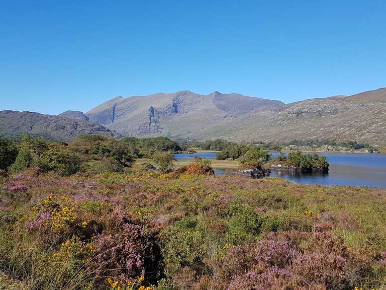 Enclosure in BridiaEnclosure · 1.2 mi
 BroaghnabinniaMountain / peak · 1.3 mi
 Ballaghbeama GapViewpoint · 2.4 mi
 CarrauntoohilMountain / peak · 2.5 mi
 Devil's Ladder RouteWalking route · 3.6 mi
 Crash site of USAAF DakotaHeritage attraction · 4.0 mi
 Eirk Bog Nature ReserveNature reserve · 4.8 mi
 Moll's GapViewpoint · 5.4 mi
 Blackstones Bridgebridge · 5.6 mi
 Penitential station in TreanmanaghPenitential station · 6.9 mi