What is recorded here
Gowlane holds a forgotten rectangular landscape where ghost walls protrude through living bog. The stones are older than the swamp itself, mapping a lost region of fields and boundaries before water and moss swallowed the work. A rath still anchors one edge, witnessing the slow burial of the place.
In rough hill pasture, on bog, on a W-facing slope. A network of relict stone field boundaries (max. T 0.6m; max. H 0.55m) protrudes intermittently above the surface of the bog in a roughly rectangular area (c. 380m ENE-WSW; c. 150m NNW-SSE). Turf-cutting shows that the bog is 0.2-1m deep. Traces of walls were also noted in the cutaway bog, where the base stones are set on the underlying mineral soil. This suggests that most of the walls in this area are pre-bog field boundaries. At the WSW end of the network, walls protrude from the bog and radiate out from a rath (CO115-006----) and appear to be associated with it. There is a hut site (CO115-078----) on the opposite bank of the river, c. 60m to the NW.
The above description is derived from 'The Archaeological Inventory of County Cork. Volume 5' (Dublin: Stationery Office, 2009).
Date of upload: 22 December 2009
The monument record does not grant public access. Check the route and ask the landowner before entering private land.
- What survives
- Recorded monument
Places near here
 Hut site in GowlaneHut site · 389 yd
 Beara WayWalking route · 766 yd
 Hut site in Commons East (bear By.)Hut site · 1441 yd
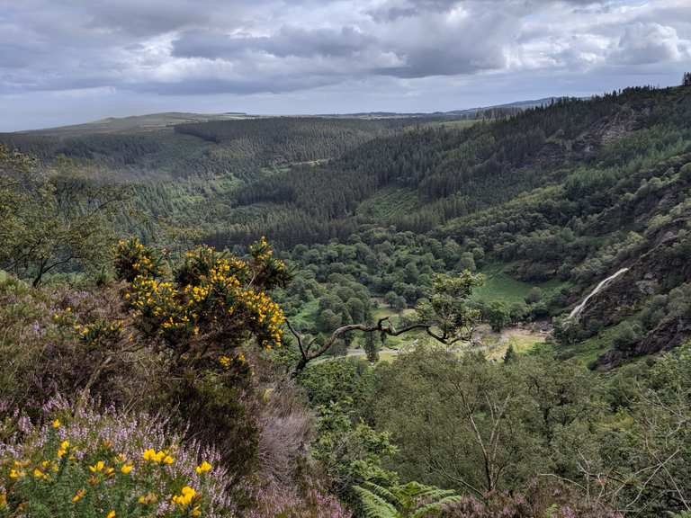 MaulinMountain / peak · 1.0 mi
 Eagle HillMountain / peak · 1.4 mi
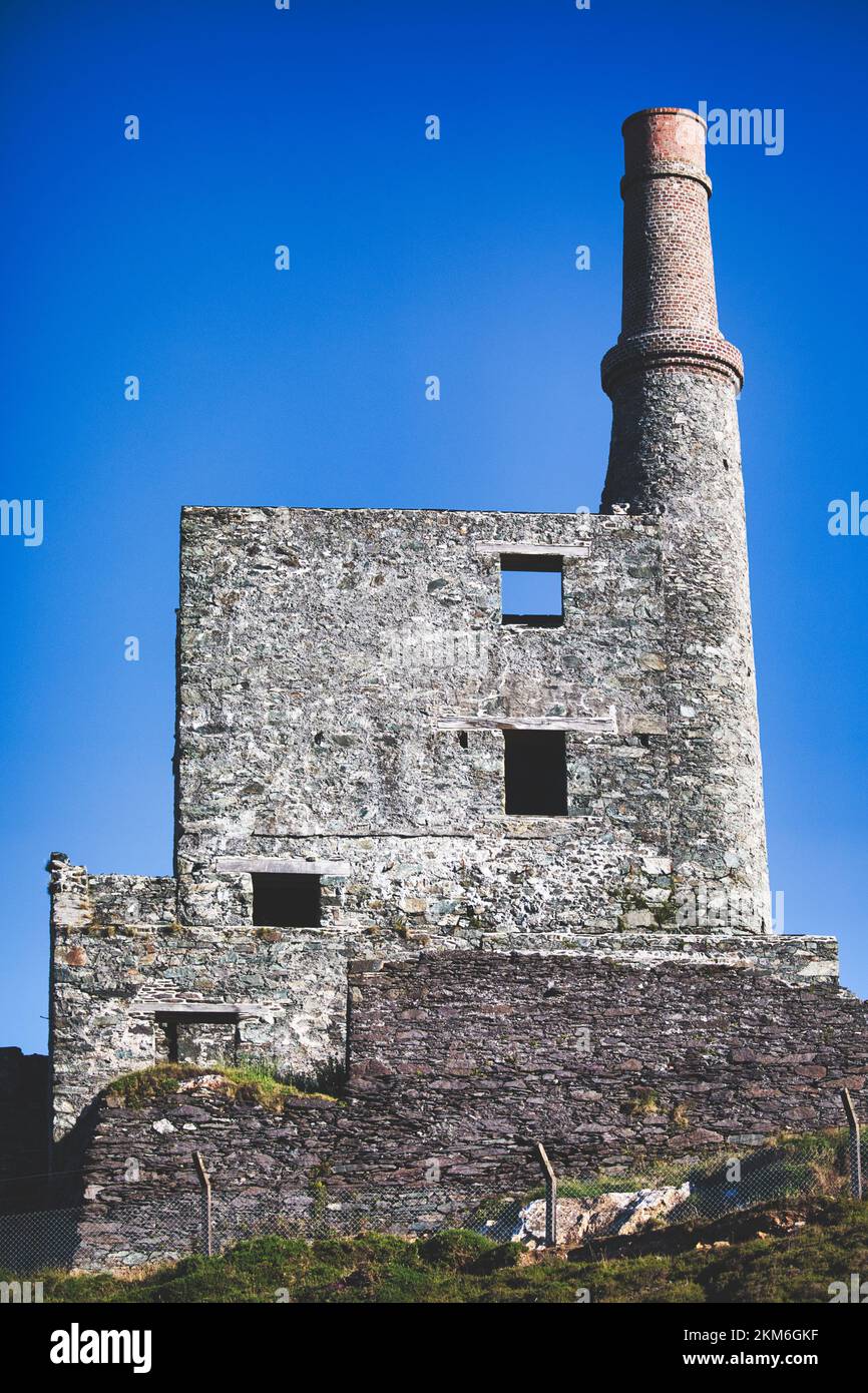 MineMine, copper · 2.0 mi
 Aghakista BrBridge · 2.6 mi
 Berehaven Battalion MemorialMemorial · 3.0 mi
 Minane IslandIslet · 3.0 mi
 Dinish IslandIslet · 3.1 mi
 Sarah Walker GalleryGallery · 3.1 mi
 Eyeries - Creha Quay LoopWalking route · 3.3 mi