What is recorded here
Aerial photographs (CUCAP ASU 76 and BOC 65) show the cropmark of a circular enclosure (KD035-019001-), together with the faint cropmark of a fosse defining a possible annexe or field attached at SE.
Compiled by: Gearóid Conroy
Date of upload: 28 November 2013
The monument record does not grant public access. Check the route and ask the landowner before entering private land.
- What survives
- Recorded monument
Places near here
 Scots PineScots Pine · 597 yd
 Church in GeraldineChurch · 701 yd
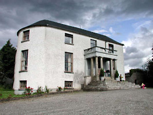 Geraldine Housefarm house · 743 yd
 Enclosure in BarkersfordEnclosure · 755 yd
 Enclosure in ForestEnclosure · 1178 yd
 Athy War MemorialMemorial · 1.4 mi
 Zoltan Zinn-Collis memorialMemorial · 1.5 mi
 Inch CastleCastle, tower house · 1.7 mi
 Town HallMuseum · 1.7 mi
 Whites [sic] Castle, Police BarrackCastle, tower house · 1.7 mi
 Inch WoodForest · 1.8 mi
 History of Moat of ArdscullVisitor information · 1.9 mi