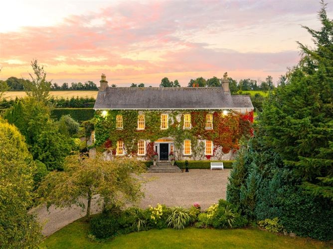
What is recorded here
In tillage. Visible on Apple Maps as the cropmark of a wide fosse enclosing a roughly circular area (estimated maximum diameter c. 90m). Cropmarks of narrower concentric fosses appear to run just inside and outside the main fosse, while a cropmark of another fosse from SE to S to NW may be the remains of an associated field system. A later field boundary obscures the NE limits of the enclosure (pers. comm. C. Chambers, 25-06-2015).
Compiled by: Gearóid Conroy
Date of upload: 21-12-2015
The monument record does not grant public access. Check the route and ask the landowner before entering private land.
- What survives
- Recorded monument
Places near here
 Enclosure in FoxhillEnclosure · 856 yd
 Enclosure in ForestEnclosure · 1045 yd
 Scots PineScots Pine · 1087 yd
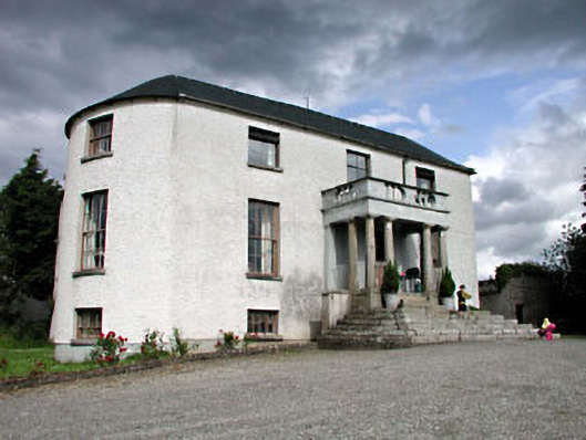 Geraldine Housefarm house · 1360 yd
 Church in GeraldineChurch · 1402 yd
 Athy War MemorialMemorial · 1.2 mi
 Zoltan Zinn-Collis memorialMemorial · 1.3 mi
 Inch CastleCastle, tower house · 1.5 mi
 Town HallMuseum · 1.5 mi
 Whites [sic] Castle, Police BarrackCastle, tower house · 1.6 mi
 Inch WoodForest · 1.8 mi
 History of Moat of ArdscullVisitor information · 2.2 mi
Other information
Photo: Credit not shown in the picture search · Rights wording not checked; contact us if this picture should be removed