What is recorded here
Near the coastline at the SE end of Fínis. A possible mound (c. 13m N-S; 6m E-W) composed of sand and stone, with an exposed cavity (0.6m N-S; D 0.4m) on its surface, was brought to our attention in April 2012. On inspection it proved to be a field wall that had been built over a sand dune. The wall had subsequently collapsed, littering the dune with boulders. A similar field wall running across a dune is visible to the NW.
Compiled by: Olive Alcock
Date of upload: 1 May 2014
The monument record does not grant public access. Check the route and ask the landowner before entering private land.
- What survives
- Recorded monument
Places near here
 Holy well in FínisHoly well · 791 yd
 Holy well in MaínisHoly well · 1.1 mi
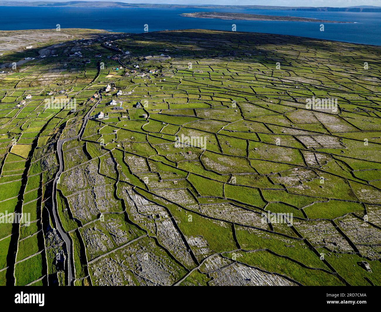 Inis MúscraíIslet · 1.1 mi
 Bior BeagIslet · 1.3 mi
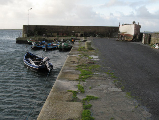 Cé Charna [Carna Quay]quay/wharf · 1.5 mi
 Cora na hAirde MóireHeadland · 1.8 mi
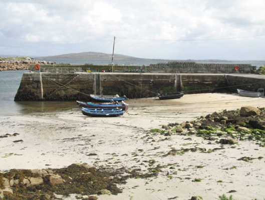 Cé an Aird Mhóir [Ardmore Quay]quay/wharf · 1.9 mi
 Ard Castle (in ruins)Castle, tower house · 3.0 mi
 Cora na gCúgHeadland · 3.9 mi
 Knockboy ForestryForest · 4.2 mi
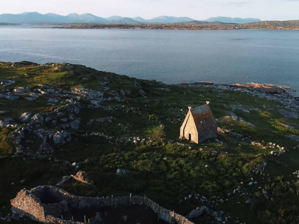 St. MacDara's Island Early Medieval Ecclesiastical SiteHeritage attraction · 4.2 mi
 Trá MhaíroisBeach / strand · 4.4 mi