What is recorded here
Occurring in an area of extensive blanket bog which overlooks the Portmagee Channel are three parallel intra-peat walls. The wall at E runs NE-SW, measures 44m long, and is composed mostly of large boulders. On its W side is a 37m stretch of wall, overlain by peat for most of its length. Its SW end runs into a .6m high face of peat. Only a 4m length of the third stretch of wall is exposed.
The above description is derived from A. O'Sullivan and J. Sheehan (compilers), 'The Iveragh peninsula: an archaeological survey of South Kerry'. Cork University Press (1996), no. 46. In certain instances the entries have been revised and updated in the light of recent research.
Date of upload: 28 July 2013
The monument record does not grant public access. Check the route and ask the landowner before entering private land.
- What survives
- Recorded monument
Places near here
 Man-made underground passage in EmlaghpeastiaMan-made underground passage · 485 yd
 Shrine in KilloluaigShrine · 862 yd
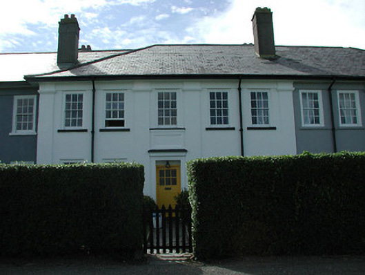 worker's houseworker's house · 2.1 mi
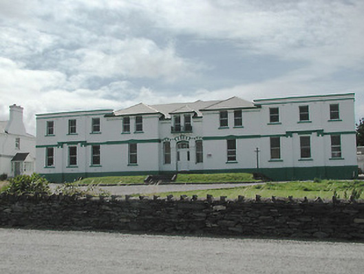 The Cable Stationtelegraph station · 2.2 mi
 Fermoyle Castle (in Ruins)Castle, tower house · 2.2 mi
 Kilbeg MountainMountain / peak · 2.4 mi
 Chilean myrtleChilean myrtle · 2.8 mi
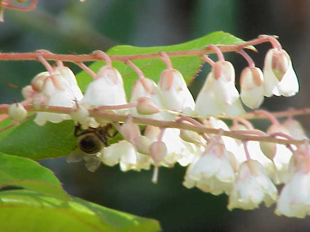 Lily-of-the-valley treeLily-of-the-valley tree · 2.8 mi
 Beginish IslandIsland · 3.3 mi
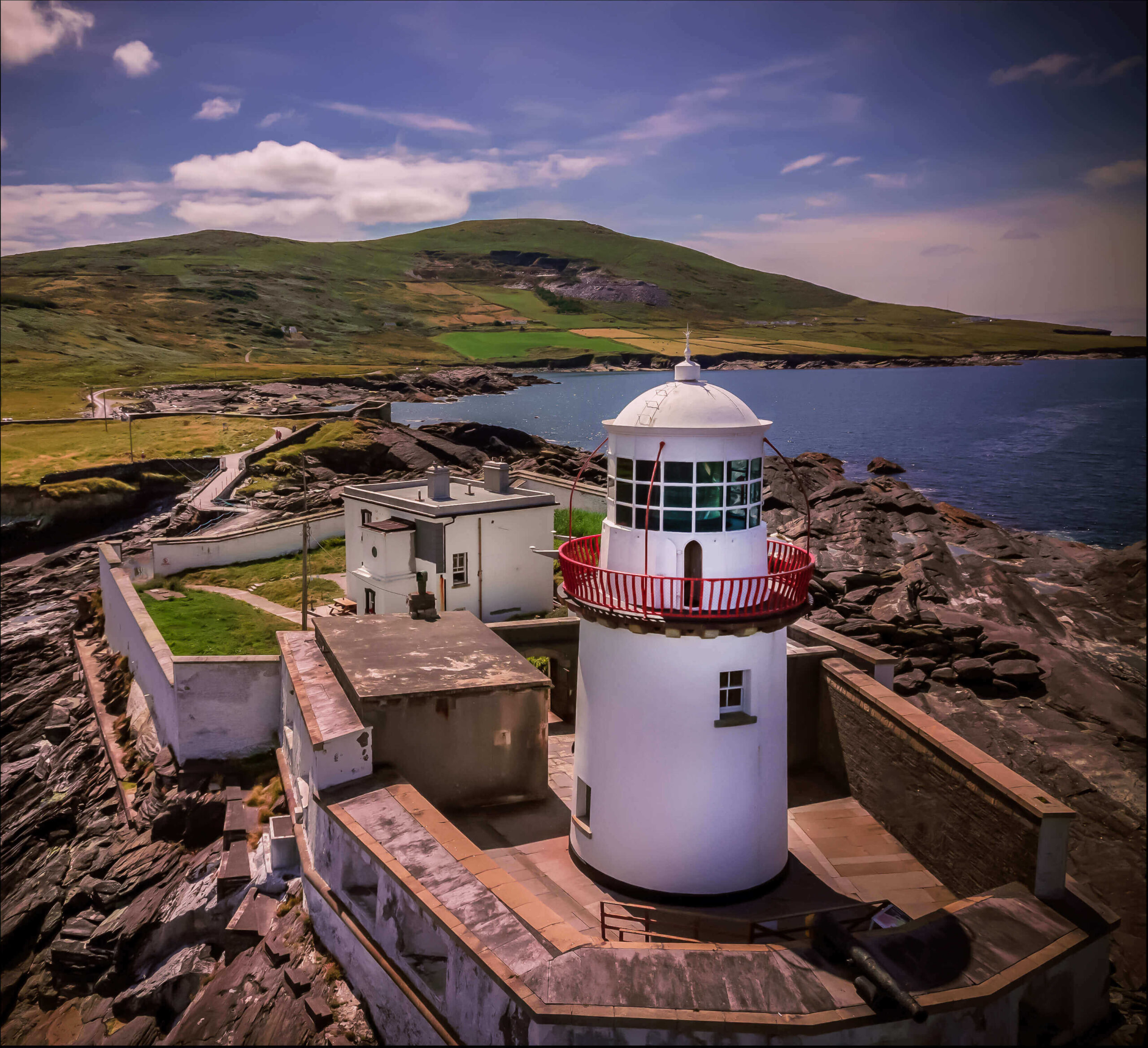 Valentia Island LighthouseMuseum · 3.4 mi
 ValentiaIsland · 3.4 mi
 Cromwell PointHeadland · 3.4 mi