
What is recorded here
From the National Monuments Service (Archaeological Survey of Ireland) record CL034-055002
Places near here
Photo credits
- Maker not stated on source page, tr.pinterest.com
- Maker not stated on source page, en.wikipedia.org
- Roger Diel, Geograph · CC BY-SA 2.0
- Kmcnamee, Wikimedia Commons · CC BY-SA 4.0
- Maker not stated on source page, commons.wikimedia.org
- Maker not stated on source page, www.go-to-ireland.com
- Maker not stated on source page, www.dreamstime.com
- Maker not stated on source page, www.interment.net
- National Inventory of Architectural Heritage
- Clarecastle G.A.A. club page; individual photographer not named, clarecastlegaa.clubifyapp.com
- Maker not stated on source page, www.pinterest.com
- Jackieray at English Wikipedia, Wikimedia Commons · Public domain
 Fairy fort / stone ringfort in DrumdoolaghtyFairy fort / stone ringfort · 44 yd
Explorer Tom Fairy fort / stone ringfort in Drumdoolaghty has a shortcut that goes nowhere fast. The stones are gossiping about your…
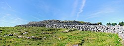 Fairy fort / stone ringfort in CahernaloughFairy fort / stone ringfort · 1164 yd
Explorer Tom Fairy fort / stone ringfort in Cahernalough once hosted a dramatic scene where a farmer lost his hat to the wind and…
 Castletown Castle (in Ruins)Castle, tower house · 1661 yd
Explorer Tom Castletown Castle was nearly sold for a horse once, which would have been a terrible deal unless the horse had better…
 St. Joseph's, Doora Barefield GAA pitchGAA ground · 1.3 mi
 Church in KilbreckanChurch · 1.5 mi
Explorer Tom Church in Kilbreckan is sitting there with its mouth shut, waiting for someone to find the hidden message in its…
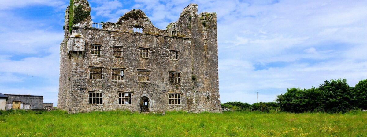 Castle (in Ruins)Castle, unclassified · 1.7 mi
Explorer Tom Castle in Knockanoura claims to be older than dirt, which is probably true if you squint hard enough. It’s got that 'I…
 Mapped graveyardGraveyard · 1.8 mi
Explorer Tom One time a fox took charge here and started rearranging the headstones by size, creating a whole new aesthetic that…
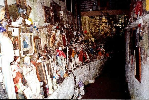 Mapped cemeteryCemetery · 2.0 mi
Explorer Tom Another Mapped cemetery in County Clare, whose name really means 'Place Where I Left My Umbrella And Never Came Back…
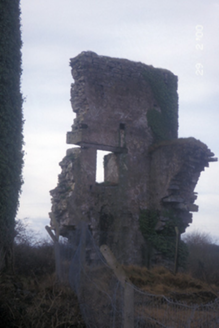 Kilbreckan Silver MinesMine/pit · 2.1 mi
Explorer Tom Kilbreckan Silver Mines were in use until pre-1921 and now just look like a building having a very slow collapse into…
 Clarecastle GAA pitchGAA ground · 3.4 mi
 Rockmount Wood TrailsVisitor information · 4.0 mi
Explorer Tom Rockmount Wood Trails is currently being managed by a fox who thinks he’s the head ranger and has stolen all the maps.…
 Killone AbbeyHeritage attraction · 4.7 mi
Explorer Tom This other Killone Abbey is having a serious drama with the nearest tree, claiming the roots are trying to steal its…
More archaeology and monuments in County Clare · All of County Clare

What do you know about this place?Tap to add a comment or ask a question