What is recorded here
Described by Quinn and Carroll (2010) as ‘Wall located within close proximity to hut complex (39) and anomalous stone feature (36). Located in pasture and poorly preserved. Length 30m, Width 0.55m, Height 0.6m (max). This wall is comprised of medium to large stones, some set lengthways on edge and some upright. Survives to only one course and very ruinous.'
Quinn, A and Carroll, M (2010) ‘Archaeological, Architectural and Cultural Heritage Assessment for a Proposed Wind Farm at Doonens Co. Cork’, Unpublished report, Tobar Archaeological Services.
Compiled by: Denis Power
Date of upload: 22 August 2013
The monument record does not grant public access. Check the route and ask the landowner before entering private land.
- What survives
- Recorded monument
Places near here
 Field boundary in Dooneens (muskerry West By., Inchigeelagh Par.)Field boundary · 168 yd
 Hut site in Dooneens (muskerry West By., Inchigeelagh Par.)Hut site · 218 yd
 Doughill MountainMountain / peak · 1583 yd
 Douce MountainMountain / peak · 1.3 mi
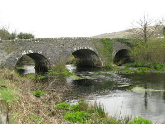 Inchinossig Bridgebridge · 2.3 mi
 Stepping StonesClapper bridge · 2.4 mi
 Gougane BarraValley and heritage place · 2.6 mi
 European ashEuropean ash · 2.7 mi
 Gortnahoughtee Mass RockNamed rock · 4.6 mi
 St Finbarr's Pilgrim RouteWalking route · 4.9 mi
 Togher CastleCastle, tower house · 5.8 mi
 Sli Gaeltacht MuscraiWalking route · 6.3 mi