
What is recorded here
From the National Monuments Service (Archaeological Survey of Ireland) record KE075-027001
Places near here
Photo credits
- National Inventory of Architectural Heritage
- Maker not stated on source page, www.flickr.com
- Maker not stated on source page, in.pinterest.com
- Maker not stated on source page, en.wikipedia.org
- Maker not stated on source page, www.dreamstime.com
- Maker not stated on source page, www.alamy.com
- Irish Examiner; photographer not stated, Irish Examiner
- Colin Park, Geograph · CC BY-SA 2.0
- Maker not stated on source page, www.pinterest.com
- Kmcnamee, Wikimedia Commons · CC BY-SA 4.0
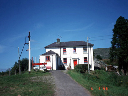 railway station1.0 mi
Explorer Tom Railway station in Derreenacullig is claimed by a local who says he invented the concept of waiting. Opened in 1893, it…
 bridge1.0 mi
Explorer Tom Bridge in Derreenacullig would date a tractor if it had a phone number and a dating profile. It spent decades carrying…
 Fairy fort / stone ringfort in Gort An TsléibheFairy fort / stone ringfort · 1.1 mi
Explorer Tom Fairy fort / stone ringfort in Gort An Tsléibhe is hiding its lower courses under overgrowth, playing dress-up as a…
 Standing stone in Gort An TsléibheStanding stone · 1.3 mi
Explorer Tom Standing stone in Gort An Tsléibhe is hiding a scandal from centuries past. It’s got a buddy nearby, and they’re…
 Cross-inscribed stone in Inch (magunihy By., Brewsterfield Ed)Cross-inscribed stone · 1.3 mi
Explorer Tom Cross-inscribed stone in Inch is hiding a message that says 'the cows are actually very smart.' It sits at the corner…
 Cross-inscribed stone in DromavraukaCross-inscribed stone · 1.3 mi
Explorer Tom Cross-inscribed stone in Dromavrauka nearly got famous when a tourist mistook it for a modern sculpture. It leans…
 Wedge tomb in GortalickaWedge tomb · 1.4 mi
Explorer Tom Wedge tomb in Gortalicka is a stone sandwich that forgot to put the bread in. It’s leaning in on itself like it has an…
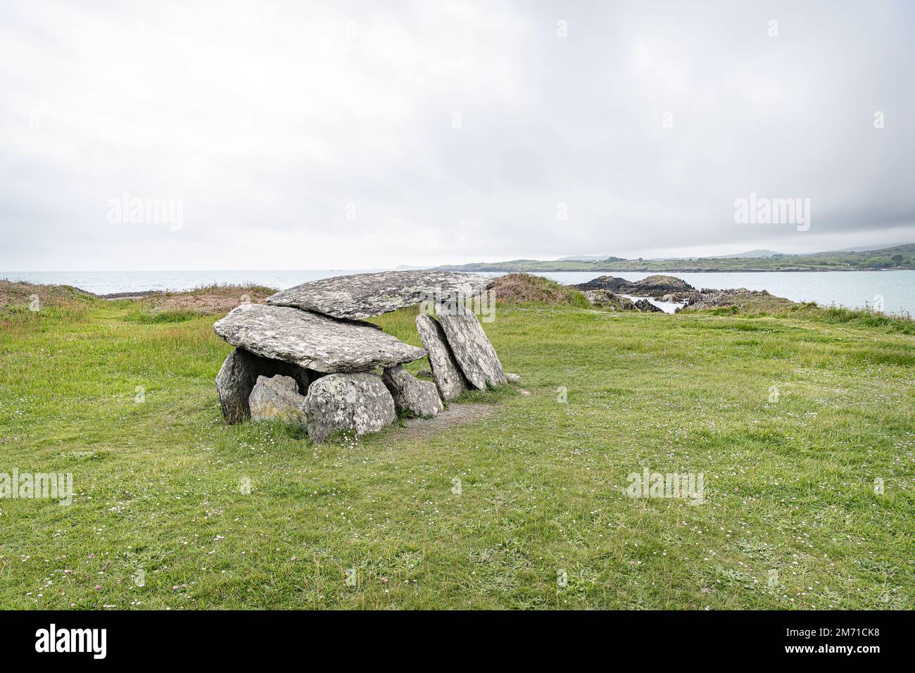 Wedge tomb in GortnakillaWedge tomb · 1.6 mi
Explorer Tom Wedge tomb in Gortnakilla thinks it's a shortcut, but it leads nowhere fast. The roof broke into five pieces, so it…
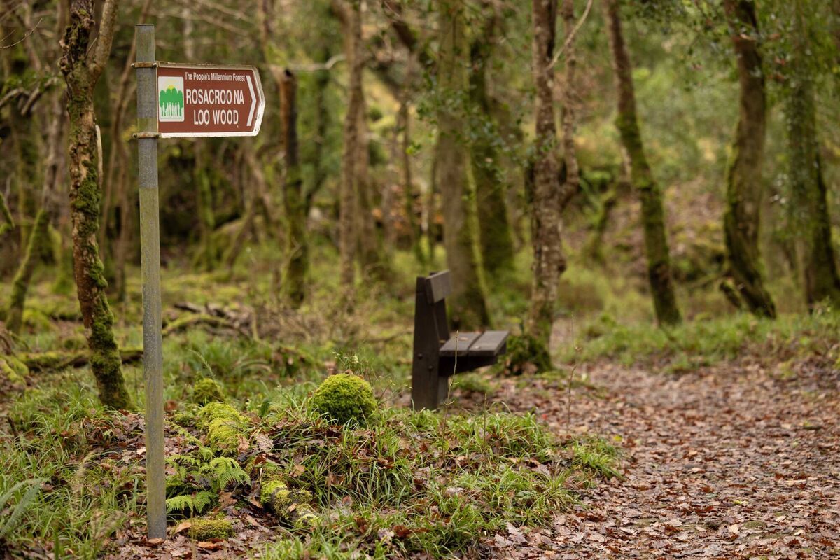 Rossacroonaloo WoodWood · 1.7 mi
Explorer Tom Rossacroonaloo Wood drops towards the Loo River in County Kerry, with an old railway line slipping through oak, birch…
 CrohaneMountain / peak · 1.7 mi
Explorer Tom Crohane in County Kerry would write on its dating profile that it’s looking for someone who doesn’t mind a bit of grit…
 Wedge tomb in Crohane (magunihy By., Flesk Ed)Wedge tomb · 1.7 mi
Explorer Tom Wedge tomb in Crohane is half-buried in bog, looking like a stone sandwich that someone dropped on purpose and never…
 Glenflesk GAA pitchGAA ground · 2.9 mi
More archaeology and monuments in County Kerry · All of County Kerry

What do you know about this place?Tap to add a comment or ask a question