What is recorded here
Listed in the SMR (1989) and RMP (1995) and classified 'Field Wall' in both. Located in undulating pasture on a limestone plateau. An earlier report (NMI 1948) recorded an old field wall, composed of large boulders, which had no connection with the modern field system. This has apparently since been removed. This is no indication that the field walls are of any great antiquity.
Compiled by: Patrick F. O'Donovan
Date of upload: 23 July 2102
The monument record does not grant public access. Check the route and ask the landowner before entering private land.
- What survives
- Recorded monument
Places near here
 IndicatedFairy fort / stone ringfort · 111 yd
 Enclosure in CreevykeelEnclosure · 292 yd
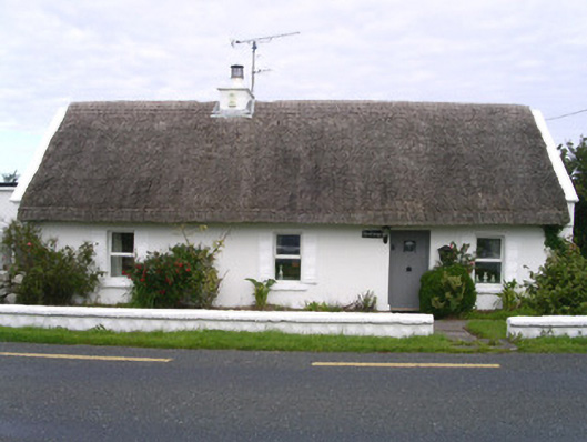 The Cottagehouse · 472 yd
 Creevykeel Court TombNeolithic court tomb · 593 yd
 Church (in Ruins)Church · 1280 yd
 Classiebawn WoodsWood · 1610 yd
 Unbaptised Children MonumentMemorial · 1.1 mi
 Trawalua StrandBeach / strand · 1.6 mi
 assassination of Louis Mountbatten, 1st Earl Mountbatten of Burmaassassination · 1.7 mi
 Wild Atlantic Way: Mullaghmore HeadVisitor information · 2.2 mi
 Mullaghmore HeadVisitor information · 2.2 mi
 Cormac Reagh's HoleCave · 3.7 mi