What is recorded here
KD034-012002- marked a semi-circular fosse beside a ringfort, visible in 1970 aerial photographs but erased from the living land. It belonged to a dense cluster of levelled monuments in Courttown East, where human hands shaped the earth before forgetting its name. The boundary still exists in archived light, waiting for someone to imagine the life it once enclosed.
One of a dense concentration of cropmarks of levelled monuments identified from several aerial photographic sources: Cambridge University Collection Aerial Photographs (CUCAP), Geological Survey of Ireland (GSI), Dr. Gillian Barrett’s Aerial Survey and OSi Orthophotos (KD034-007----, KD034-008----, KD034-009----, KD034-010----, KD034-011----, KD034-0120001-, KD034-012002-, KD034-027----, KD034-034----, KD034-035----, KD034-036----, KD034-039----, KD034-040----, KD034-041----, KD035-015---- and KD035-080----). The majority occupy a roughly rectangular area (c. 650m E-W; c. 350m) in level tillage, with two ‘outliers’ (KD035-0120001- and KD035-012002-) c. 250m to the S, and a third ‘outlier’ (KD034-027----) c. 220m to the NW.
KD034-012002- Visible on 1970 aerial photographs (CUCAP BDH 64 and 65) as the cropmark of fosse enclosing a semi-circular area (est. diam. c. 70m NW-SE) attached to the NE of a cropmark of a circular enclosure (KD034-012001-). Probably a field or annexe associated with a ringfort. No visible surface trace survives.
Compiled by: Gearóid Conroy
Date of upload: 26 November
The monument record does not grant public access. Check the route and ask the landowner before entering private land.
- What survives
- Recorded monument
Places near here
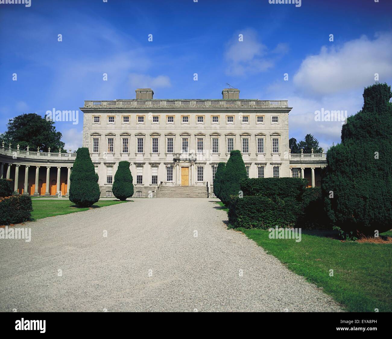 Enclosure in CoolroeEnclosure · 774 yd
 Enclosure in Woodstock NorthEnclosure · 1121 yd
 Cardington Locklock · 1539 yd
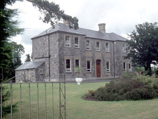 Galileehospital/infirmary · 1622 yd
 Bawn in Townparks (athy West Urban Ed)Bawn · 1.3 mi
 Woodstock Castle (in Ruins)Castle, hall-house · 1.3 mi
 Gone FishingMemorial · 1.6 mi
 Ernest ShackletonMemorial · 1.7 mi
 Town HallMuseum · 1.7 mi
 Brackney WoodForest · 2.4 mi
 Scots PineScots Pine · 3.3 mi
 Cobbler's Castle WalkWalking route · 4.1 mi