What is recorded here
Reported by Jean-Charles Caillere. Visible on Google Earth imagery (11-8-2022) in level tillage as a large rectangular area (L c. 50m NNE-SSW; Wth c. 40m) defined by the cropmark of a narrow fosse, with a possible entrance gap at the enclosure’s SSW end. The WNW side is defined by a later field boundary and drain.
See attached image: KD034-045----_01 Snip of Google earth image (11-8-2022).
Compiled by: Gearóid Conroy
Date of upload: 31 July 2023
The monument record does not grant public access. Check the route and ask the landowner before entering private land.
- What survives
- Recorded monument
Places near here
 Enclosure in Woodstock NorthEnclosure · 1067 yd
 Enclosure in KilcooEnclosure · 1157 yd
 Cardington Locklock · 1.0 mi
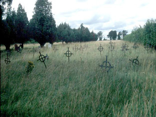 Saint Mary's Burial Groundgraveyard/cemetery · 1.1 mi
 Woodstock Castle (in Ruins)Castle, hall-house · 1.4 mi
 Woodstock CastleRuins · 1.4 mi
 Gone FishingMemorial · 1.6 mi
 Ernest ShackletonMemorial · 1.7 mi
 Town HallMuseum · 1.7 mi
 Brackney WoodForest · 2.3 mi
 Pedunculate OakPedunculate Oak · 3.5 mi
 Cobbler's Castle WalkWalking route · 3.9 mi
Other information
Photo: Credit not shown in the picture search · Rights wording not checked; contact us if this picture should be removed