What is recorded here
Coonane holds a lost landscape beneath its bog: curved stone walls reappear across two hundred metres, marking fields that stopped being visible long before they stopped existing. The walls dive away where the bog deepens, as if the land is keeping its own counsel rather than explaining itself. A wedge tomb, a hut site and an enclosure sit inside the same forgotten arrangement, suggesting people lived, buried and marked boundaries on this slope while the Barony River valley watched below. What is missing is not data but time; the bog has simply continued doing what bog does, taking the sharp edges of human order back into itself.
On bog, on a terrace on an E-facing hillslope, overlooking the valley of the Barony River. A network of relict stone field boundaries (T 0.5m; H 0.4m), which consist mainly of curvilinear lines of stones, protrudes intermittently above the surface of the bog in an irregularly shaped area (c. 250m NW-SW; c. 200m NE-SW). The walls disappear beneath the surface in areas where the bog is deeper. There is a wedge tomb (CO091-010007-), a hut site (CO091-010004-) and an enclosure (CO091-010008-) within this relict field boundary network.
The above description is derived from 'The Archaeological Inventory of County Cork. Volume 5' (Dublin: Stationery Office, 2009).
Date of upload: 22 December 2009
The monument record does not grant public access. Check the route and ask the landowner before entering private land.
- What survives
- Recorded monument
Places near here
 Field boundary in CoonaneField boundary · 90 yd
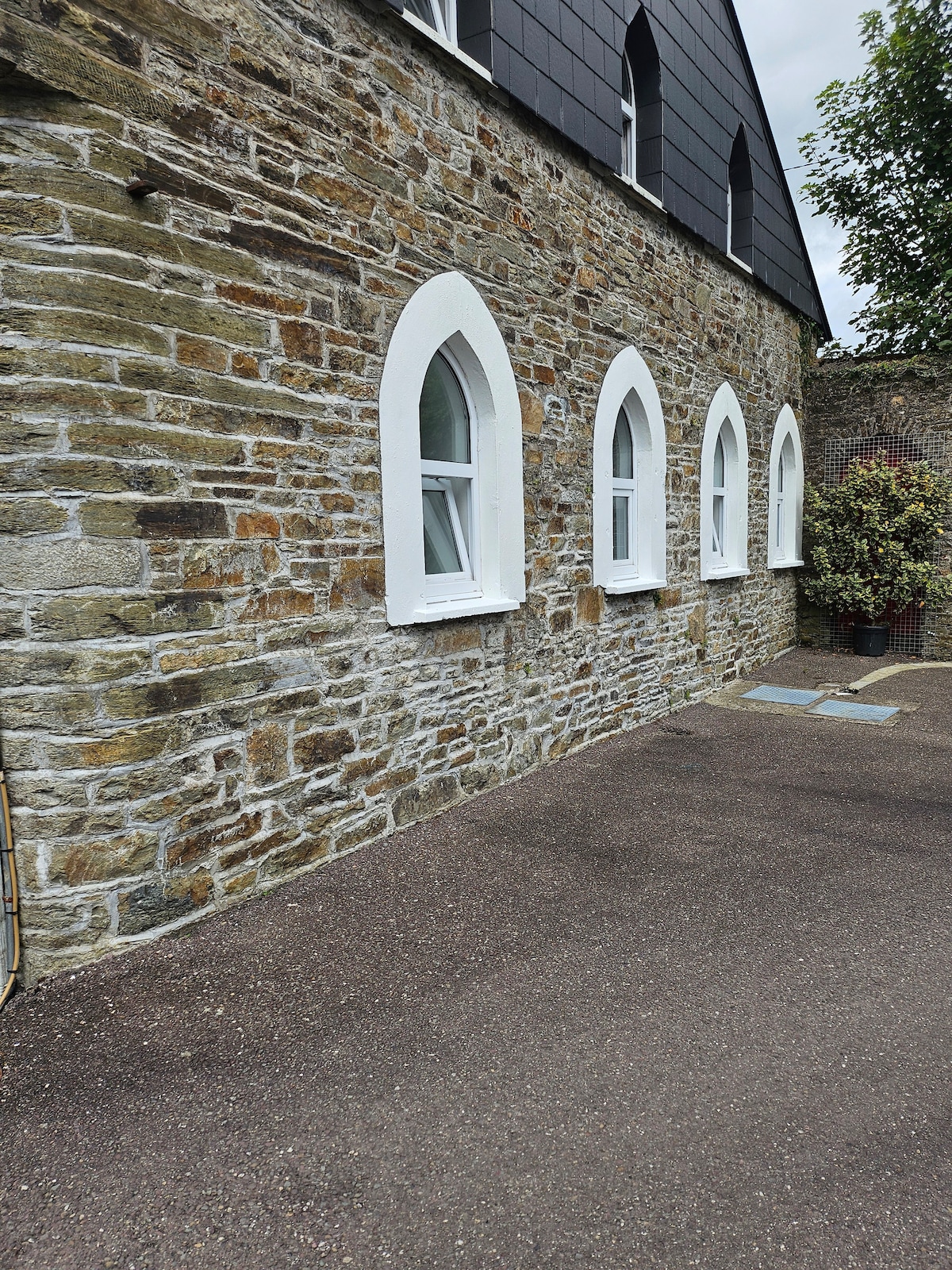 Enclosure in CoonaneEnclosure · 128 yd
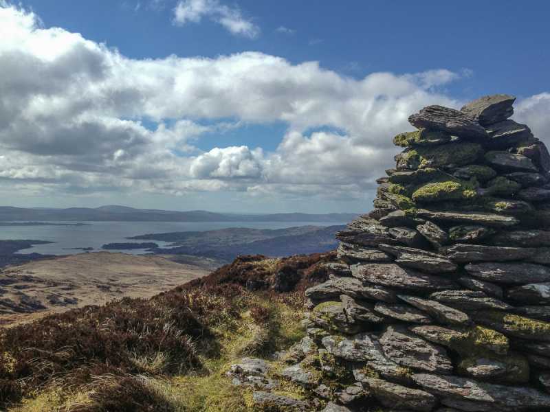 Barraboy Mountain SE TopMountain / peak · 1.2 mi
 The Priest's LeapMountain / peak · 1.4 mi
 The Priests LeapViewpoint · 2.0 mi
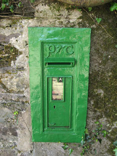 post boxpost box · 2.1 mi
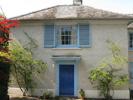 Toad Hallhouse · 2.2 mi
 Tasmanian bluegumTasmanian bluegum · 2.2 mi
 Calf IslandIslet · 2.3 mi
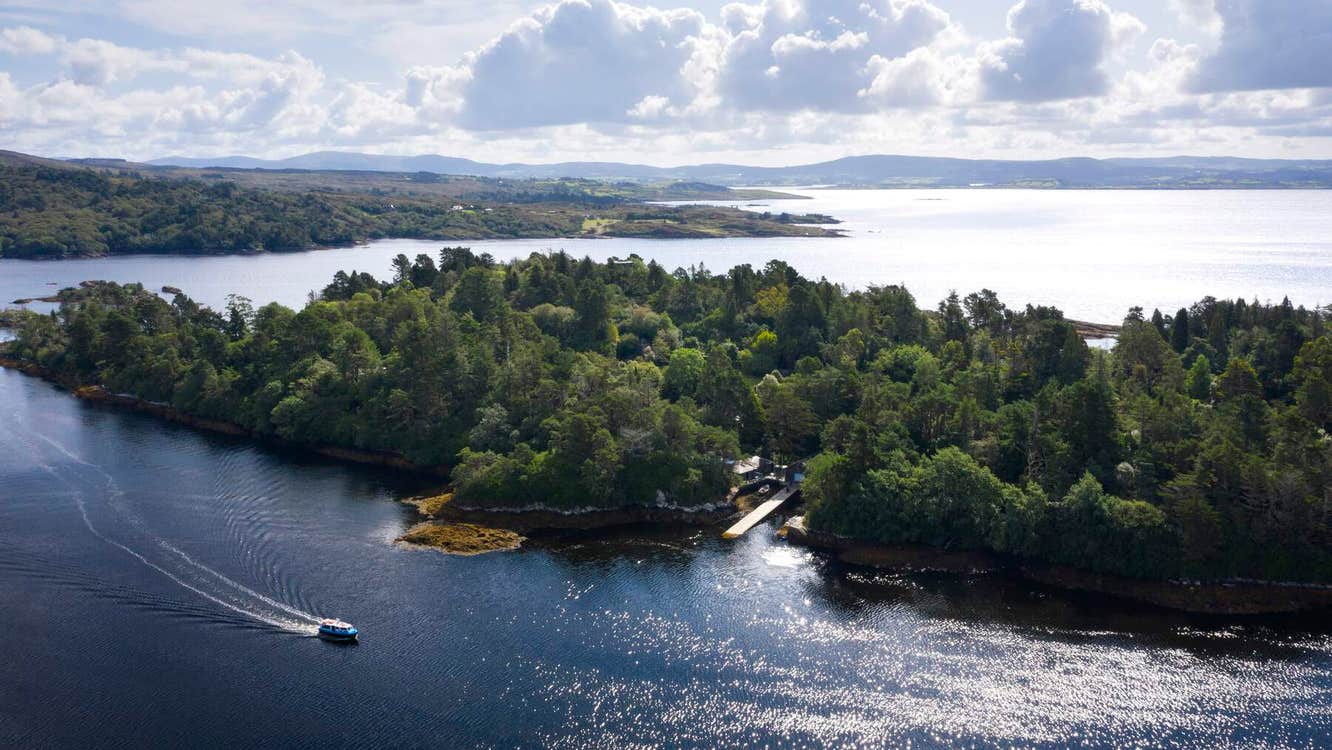 Garranboy IslandIslet · 2.5 mi
 The Blue PoolHeritage attraction · 2.6 mi
 Molly Gallivan's Cottage & Traditional FarmMuseum · 2.7 mi