What is recorded here
In rough, uneven, hill grazing on bog on the E-facing slopes of Cahernageeha Mountain. The remains of relict field walls (T 0.6m; H 0.4m), which protrude above the surface of the bog, occur intermittently in a roughly triangular area (L c. 240m at E; protruding c. 300m to W). The walls vary in length and direction and are generally curvilinear with many boulder-type stones and occasional slabs set on the line of the wall. Many stretches of these relict walls are obscured by gorse and moor-grass, and occasionally disappear under deeper bog. (O'Sullivan and Sheehan 1996, 399, no. 1220)
The above description is derived from the published 'Archaeological Inventory of County Kerry. Volume I: South-West Kerry' (Dublin: Stationery Office, 2009). In certain instances the entries have been revised and updated in the light of recent research.
Date of upload: 30 May 2011
The monument record does not grant public access. Check the route and ask the landowner before entering private land.
- What survives
- Recorded monument
Places near here
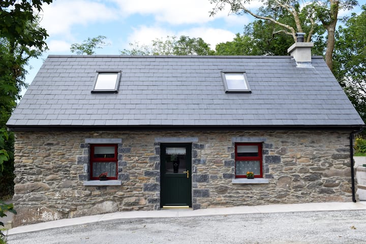 Hut site in Com Na Heorna ThoirHut site · 175 yd
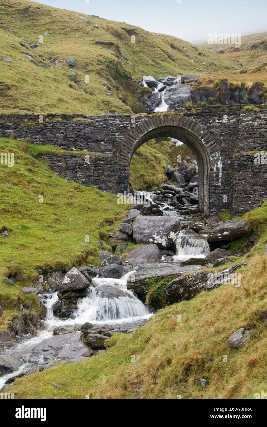 Indicated (1846).Fairy fort / stone ringfort · 727 yd
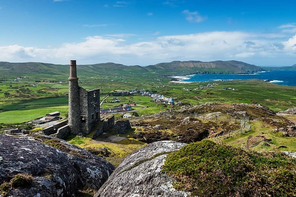 Copper Mines (Disused)Mine, copper · 1263 yd
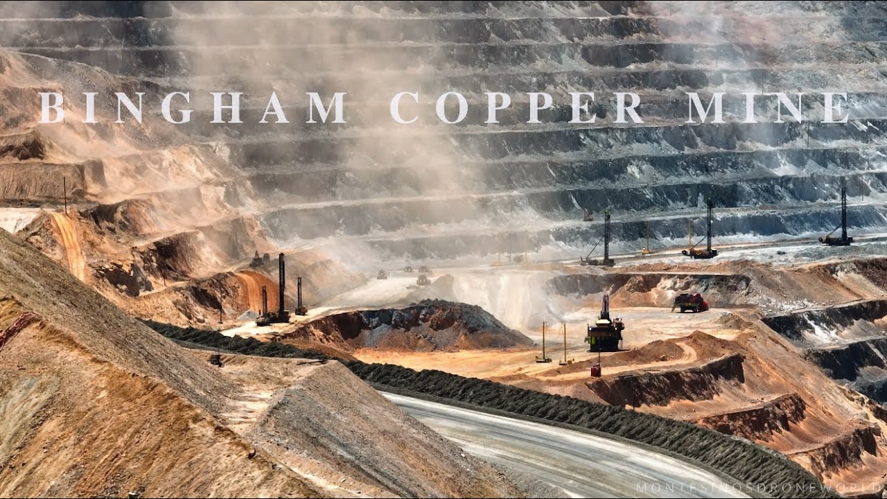 MineMine, copper · 1704 yd
 Cahernageeha MountainMountain / peak · 1.1 mi
 Mullach BogMountain / peak · 1.2 mi
 Trá an Ghleanna Bhig / Glanbeg BeachBeach / strand · 2.1 mi
 Ogham StoneVisitor information · 2.2 mi
 Reen BeachBeach / strand · 2.4 mi
 An PlaoscHeadland · 2.5 mi
 Castle Cove (in Ruins)Castle, tower house · 2.5 mi
 Derrynane House / Teach Dhoire FhionáinHeritage attraction · 2.5 mi