
What is recorded here
In rough hill pasture, on a rocky SW-facing slope. The remains of two stretches of relict stone field boundaries (T 0.6m; H 0.45m) extend in a general N-S direction as they protrude above the surface of the bog. Both walls are c. 70m in length and are located c. 40m apart. Many stones are set at right angles to the line of the mainly curvilinear walls. Occasionally the stones run into deeper bog. A hut site (CO115-087001-) abuts the E side of the northernmost wall.
The above description is derived from 'The Archaeological Inventory of County Cork. Volume 5' (Dublin: Stationery Office, 2009).
Date of upload: 22 December 2009
The monument record does not grant public access. Check the route and ask the landowner before entering private land.
- What survives
- Recorded monument
Places near here
 Hut site in CloontreemHut site · 119 yd
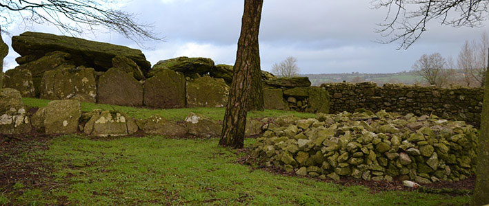 Wedge tomb in CloontreemWedge tomb · 189 yd
 Beara WayWalking route · 886 yd
 Eagle HillMountain / peak · 1261 yd
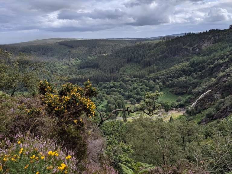 MaulinMountain / peak · 1.5 mi
 Aghakista BrBridge · 1.7 mi
 Tuck Mill (Disused)Mill, fulling · 1.7 mi
 Berehaven Battalion MemorialMemorial · 2.2 mi
 Minane IslandIslet · 2.2 mi
 Dinish IslandIslet · 2.2 mi
 Sarah Walker GalleryGallery · 2.3 mi
 Burial ground in DerrycreeveenBurial ground · 3.0 mi
Other information
Photo: Credit not shown in the picture search · Rights wording not checked; contact us if this picture should be removed