What is recorded here
In pasture on the lower S-facing slopes of Aghatubride Mountain. There is no visible surface trace of the relict field walls previously recorded at this location. The field in which they were situated has since been reclaimed. According to the SMR file for this record, one field wall crossed through the centre of a nearby hut site (KE088-055----) and extended to the S of the hut site. It then curved to the SE and passed to the S of another hut site (KE088-055001-). A smaller field wall extended to the E. (O'Sullivan and Sheehan 1996, 396, no. 1188)
The above description is derived from the published 'Archaeological Inventory of County Kerry. Volume I: South-West Kerry' (Dublin: Stationery Office, 2009). In certain instances the entries have been revised and updated in the light of recent research.
Date of upload: 30 May 2011
The monument record does not grant public access. Check the route and ask the landowner before entering private land.
- What survives
- Recorded monument
Places near here
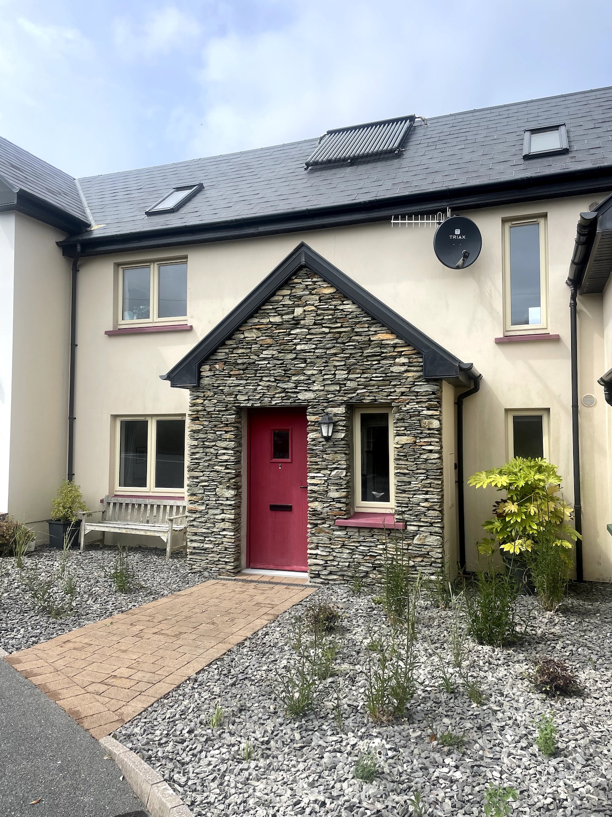 Enclosure in AghatubridEnclosure · 265 yd
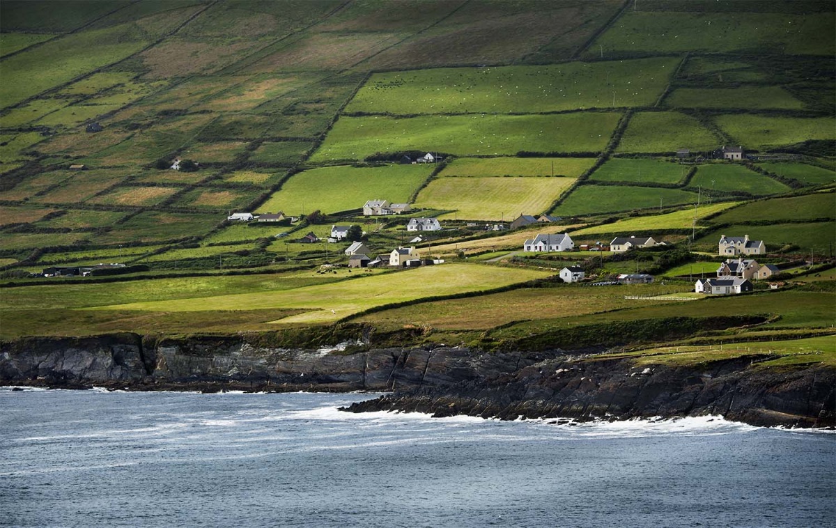 IndicatedEnclosure · 274 yd
 FoilcloghMountain / peak · 1.2 mi
 BeenduffMountain / peak · 1.5 mi
 RoadRoad, road/trackway · 2.0 mi
 Kineigh Househouse · 2.2 mi
 Mc Crehins Castle (Site of)Castle, unclassified · 2.3 mi
 Laharn Bog LoopWalking route · 2.3 mi
 Fermoyle Castle (in Ruins)Castle, tower house · 3.1 mi
 Emlagh LoopWalking route · 3.3 mi
 Reenrow BeachBeach / strand · 3.7 mi
 Inny StrandBeach / strand · 3.8 mi