
What is recorded here
On a gentle S-facing slope. Some field banks, part of the field system (RO038-005006-) were recorded faintly in field survey in 1985 (SMR file). This area is reclaimed grassland, and no features survives further N than rath (RO038-005001-).
Compiled by: Michael Moore
Date of upload: 24 August 2010
The monument record does not grant public access. Check the route and ask the landowner before entering private land.
- What survives
- Recorded monument
Places near here
 Field boundary in Carrigans ParkField boundary · 384 yd
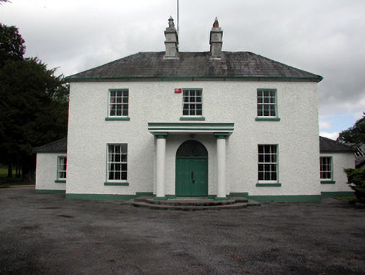 Carrigans Park Housecountry house · 626 yd
 IndicatedQuarry · 637 yd
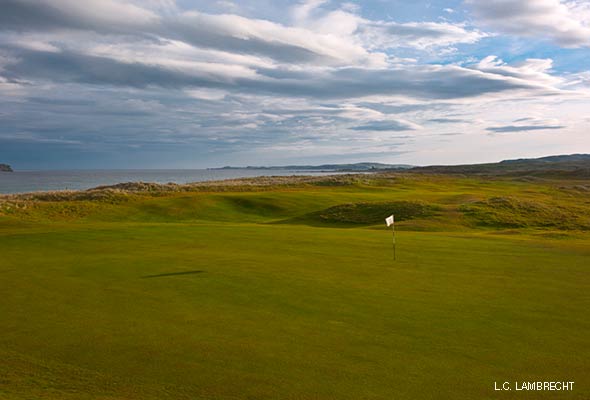 Fulacht fia in BallymacfarraneFulacht fia · 1345 yd
 HawthornHawthorn · 1.9 mi
 European ashEuropean ash · 2.6 mi
_-_geograph.org.uk_-_1952978.jpg?width=1280) Bawn in Glinsk (ballymoe By.)Bawn · 4.6 mi
Bawn in Glinsk (ballymoe By.)Bawn · 4.6 mi Site of Killomaine Grave YardArchaeological place · 5.3 mi
 Sally IslandIslet · 5.5 mi
 Mount MaryMountain / peak · 6.3 mi
 CastleCastle, Anglo-Norman masonry castle · 6.4 mi
 Bawn IslandIslet · 19 mi
Other information
Photo: Credit not shown in the picture search · Rights wording not checked; contact us if this picture should be removed