What is recorded here
In 2001, archaeological testing (Licence no. 01E0156: www.excavations.ie) in advance of the construction of four houses exposed a natural hollow containing two field ditches, one apparently of medieval date. Modern field consolidation had filled the hollow to the level of the present ground surface, and covered the features in a layer of topsoil. The first ditch was 1.4m wide and c. 0.5m deep, and was filled with a friable loam containing a single sherd of late medieval pottery, the second ditch shared its orientation with post-medieval furrows.
Compiled by: Gearóid Conroy
Date of upload: 10 June 2011
The monument record does not grant public access. Check the route and ask the landowner before entering private land.
- What survives
- Recorded monument
Places near here
 Cross in Cloncurry (ikeathy & Oughterany By., Cloncurry Ed)Cross · 130 yd
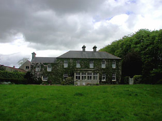 Ballyvoneen Househouse · 240 yd
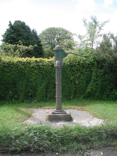 water pumpwater pump · 305 yd
 Enclosure in Cloncurry (ikeathy & Oughterany By., Cloncurry Ed)Enclosure · 349 yd
 Cloncurry GraveyardHeritage attraction · 665 yd
 European ashEuropean ash · 748 yd
 Cloncurry MoatCastle, motte · 751 yd
 Old Bog Road made famous by Teresa Bryton 1868-1943Memorial · 1.3 mi
 Site of Dunfierth CastleCastle, unclassified · 2.3 mi
 Kilgar GardensHeritage attraction · 3.7 mi
 Wych ElmWych Elm · 4.4 mi
 Mass was there in Penal TimesMemorial · 4.9 mi