What is recorded here
Half-buried in bog on an east-facing slope above the Sheen River, a seven-metre stone ribbon still marks an old field edge. It lies sixty metres from a wedge tomb and an enclosure, suggesting people shaped this land long before drainage works scarred it. The wall does not grandstand; it waits beneath the turf, holding the shape of a forgotten boundary while Mucksna Mountain watches from the west.
In rough pasture, on an E-facing slope overlooking the valley of the Sheen River with Mucksna Mountain to the W. A short section (L c. 7m) of a relict field wall (T c. 0.6m; H 0.2m), on an E-W axis, protrudes above the surface of the bog. Drainage works have taken place in the area. An enclosure (KE093-086002-) is c. 60m to the E and a wedge tomb (KE093-086003-) c. 60m to the SE.
The above description is derived from the published 'Archaeological Inventory of County Kerry. Volume I: South-West Kerry' (Dublin: Stationery Office, 2009). In certain instances the entries have been revised and updated in the light of recent research.
Date of upload: 30 May 2011
The monument record does not grant public access. Check the route and ask the landowner before entering private land.
- What survives
- Recorded monument
Places near here
 Enclosure in BallygriffinEnclosure · 53 yd
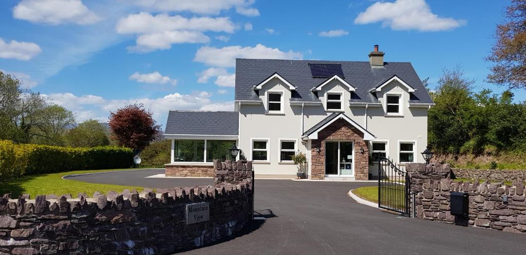 Mucksna MountainMountain / peak · 886 yd
 IndicatedFairy fort / stone ringfort · 1549 yd
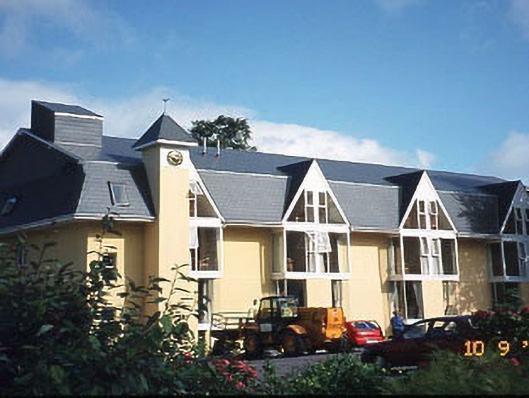 Riversdale Househouse · 1.0 mi
 Sheen Br.Bridge · 1.1 mi
 Mucksna Nature ReserveNature reserve · 1.2 mi
 Killaha MountainMountain / peak · 1.3 mi
 Monterey PineMonterey Pine · 1.5 mi
 Cleo GalleryGallery · 1.6 mi
 Mill Cove Gallery / John Brennan StudioGallery · 1.6 mi
 Kenmare Heritage Town - Main StreetMemorial · 1.7 mi
 Kenmare Tourist Information OfficeVisitor information · 1.8 mi